Transport Functions
Multimodal
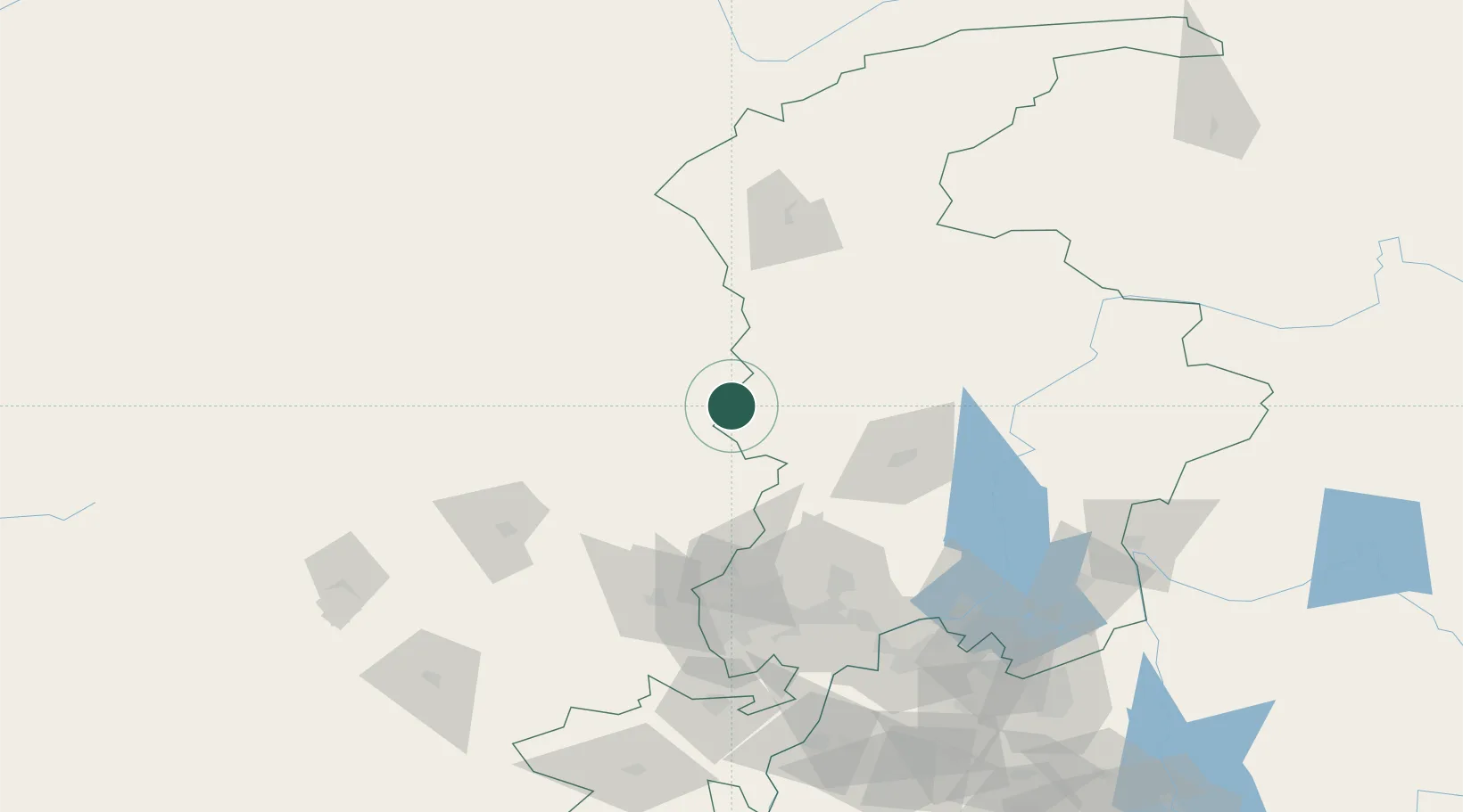
Hub Profile
Place type
Populated place
Region
Ghowr
Time zone
Asia/Kabul
Elevation
2,392 m
Location
Nearby Logistics Neighbours
Cities
- 1Torkham39 km
- 2Hayatabad86 km
- 3Garhi Habibullah Khan183 km
- 4Sharona283 km
- 5Jhelum309 km
Ports
- 1Muhamamad Bin Qasim1210 km
- 2Karachi1221 km
- 3Kandla1340 km
- 4Navlakhi1347 km
- 5Mandvi1373 km
Airports
- 1Saidu Sharif Airport79 km
- 2Chitral Airport98 km
- 3Risalpur Air Base113 km
- 4Bacha Khan International Airport116 km
- 5Jalalabad Airport118 km
Trade Zones
DatabookThe Record of Consolidated Knowledge
Afghanistan beyond logistics?