Diversified Zone · Tajikistan

Dangara Free Economic Zone Active
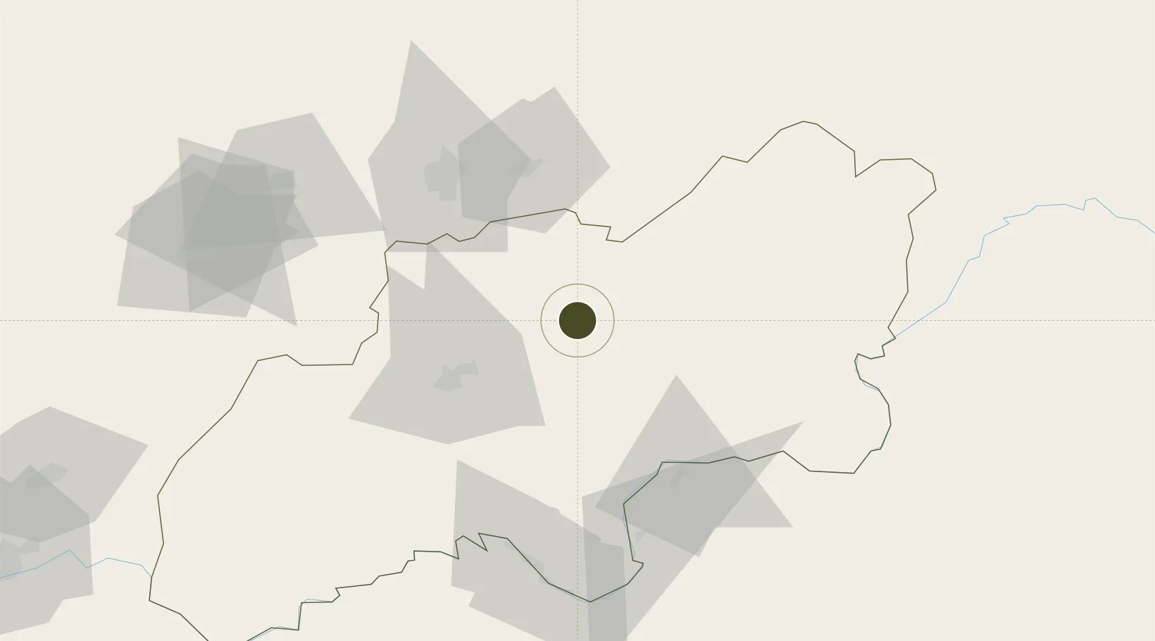
38.0588°, 69.2226°
541 ha
Zone area
1,488.6 km
Nearest port
38.0 km
Nearest airport

Gateway access

Nearest neighbours — logibook spatial index (haversine) over the source coordinates

Zone profile

Zone type
Diversified Zone
Open Zone Map
Region
Khatlon
Open Zone Map
Status
Active
Open Zone Map
Management
Public
Open Zone Map
Operator
Administration of FEZ "DANGARA"
Open Zone Map
Legal framework
Resolution on the Creation of Free Economic Zones "Ishkoshim" and "Dangara"
Open Zone Map

Location

Location of ozm-4402
Natural Earth 10m (public domain) · Khatlon · ozm-4402 · 38.06, 69.22GoogleOSMYandex

Nearby Logistics Neighbours

Ports
  1. 1Muhamamad Bin Qasim1489 km
  2. 2Karachi1491 km
  3. 3Gwadar1579 km
  4. 4Chah Bahar1637 km
  5. 5Jazireh-Ye Hormoz1705 km
Nearest neighbours — logibook spatial index (haversine) over the source coordinates
Airports
  1. 1Qurghonteppa International Airport38 km
  2. 2Kulob Airport52 km
  3. 3Dushanbe International Airport64 km
  4. 4Farkhor Air Base67 km
  5. 5Gissar Air Base70 km
Nearest neighbours — logibook spatial index (haversine) over the source coordinates
Cities
  1. 1Qurghonteppa47 km
  2. 2Shaartuz132 km
  3. 3Termez196 km
  4. 4Khujand248 km
  5. 5Dehdadi252 km
Nearest neighbours — logibook spatial index (haversine) over the source coordinates
Trade Zones
  1. 1Kulob Free Economic Zone46 km
  2. 2Pyanj Free Economic Zone93 km
  3. 3Kunduz Special Economic Zone158 km
  4. 4Boysun-pharm Free Economic Zone194 km
  5. 5Termez Termiz Free Economic Zone195 km
Nearest neighbours — logibook spatial index (haversine) over the source coordinates
DatabookThe Record of Consolidated Knowledge
Tajikistan beyond logistics?
Browse databook

All Sources

Trade ZonesOpen Zone Map
CC BY
Portsthe NGA World Port Index
Public domain (US gov)
AirportsOurAirports
Public domain
LocationsUN/LOCODE
UN/LOCODE — free
← Tajikistan trade zones