Diversified Zone · Afghanistan

Kunduz Special Economic Zone Under Development
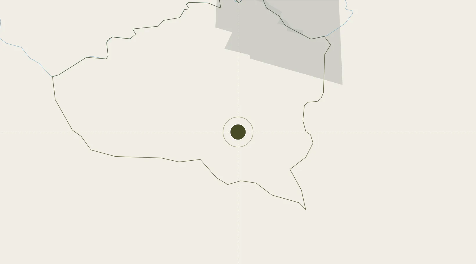
36.6639°, 68.9018°
1,331.1 km
Nearest port
0.8 km
Nearest airport

Gateway access

Nearest neighbours — logibook spatial index (haversine) over the source coordinates

Zone profile

Zone type
Diversified Zone
Open Zone Map
Region
Kunduz
Open Zone Map
Status
Under Development
Open Zone Map
Management
Public
Open Zone Map
Operator
Afghanistan Airfield Economic Development Commission (AAEDC)
Open Zone Map
Legal framework
Presidential Decree # July 2015, Afghanistan Customs Law 2005.
Open Zone Map

Location

Location of ozm-3
Natural Earth 10m (public domain) · Kunduz · ozm-3 · 36.66, 68.90GoogleOSMYandex

Nearby Logistics Neighbours

Ports
  1. 1Muhamamad Bin Qasim1331 km
  2. 2Karachi1334 km
  3. 3Gwadar1428 km
  4. 4Chah Bahar1492 km
  5. 5Kandla1521 km
Nearest neighbours — logibook spatial index (haversine) over the source coordinates
Airports
  1. 1Kunduz Airport1 km
  2. 2Qara Tepa Heliport97 km
  3. 3Farkhor Air Base99 km
  4. 4Qurghonteppa International Airport134 km
  5. 5Mazar-i-Sharif International Airport151 km
Nearest neighbours — logibook spatial index (haversine) over the source coordinates
Cities
  1. 1Shaartuz94 km
  2. 2Qurghonteppa131 km
  3. 3Termez158 km
  4. 4Dehdadi171 km
  5. 5Qasim299 km
Nearest neighbours — logibook spatial index (haversine) over the source coordinates
Trade Zones
  1. 1Pyanj Free Economic Zone65 km
  2. 2Balkh Special Economic Zone150 km
  3. 3Mazar-i-Sharif Mazar Special Economic Zone151 km
  4. 4Termez Termiz Free Economic Zone156 km
  5. 5Boysun-pharm Free Economic Zone158 km
Nearest neighbours — logibook spatial index (haversine) over the source coordinates
DatabookThe Record of Consolidated Knowledge
Afghanistan beyond logistics?
Browse databook

All Sources

Trade ZonesOpen Zone Map
CC BY
Portsthe NGA World Port Index
Public domain (US gov)
AirportsOurAirports
Public domain
LocationsUN/LOCODE
UN/LOCODE — free
← Afghanistan trade zones