Medium airport · Afghanistan
Kunduz AirportOAUZ
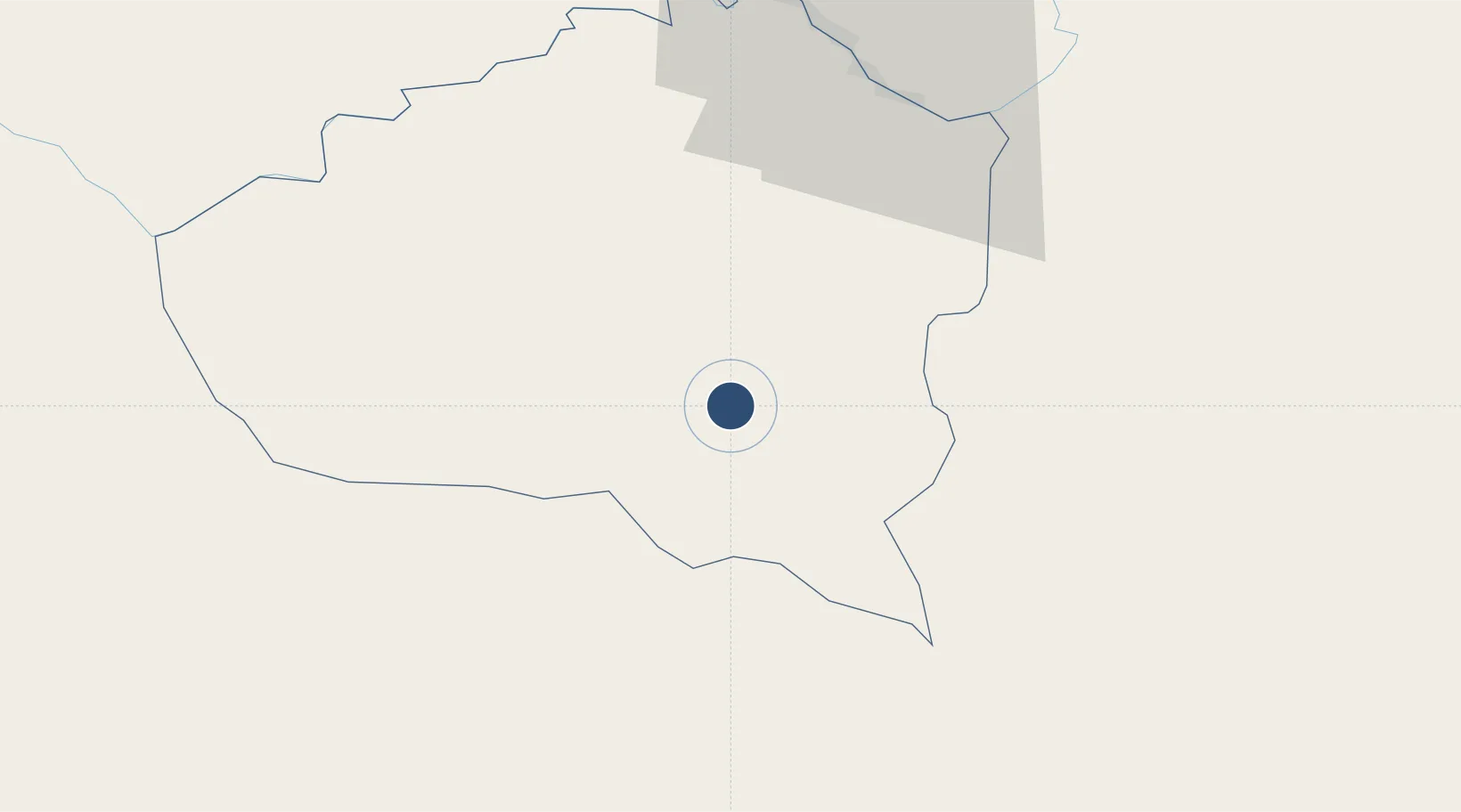
36.6651°, 68.9108°
6,558 ft
Longest runway
1
Runways
1,457 ft
Elevation
Runway & Layout

Radio Frequencies
INFO
130.35 MHz
Runways · 1
| Runway | Dimensions | Surface | True heading | Lit |
|---|---|---|---|---|
| 11/29 | 6,558 × 148ft | Asphalt | 113° | — |
Airport Specifications
IATA code
UND
ICAO code
OAUZ
Airport class
Medium airport
Scheduled service
No
Runway surface
Asphalt
Served city
Kunduz
Location
Nearby Logistics Neighbours
Airports
- 1Qara Tepa Heliport96 km
- 2Farkhor Air Base99 km
- 3Qurghonteppa International Airport134 km
- 4Mazar-i-Sharif International Airport152 km
- 5Fayzabad Airport152 km
Cities
- 1Shaartuz95 km
- 2Qurghonteppa131 km
- 3Termez159 km
- 4Dehdadi172 km
- 5Qasim298 km
Ports
- 1Muhamamad Bin Qasim1331 km
- 2Karachi1334 km
- 3Gwadar1428 km
- 4Chah Bahar1492 km
- 5Kandla1521 km
Trade Zones
DatabookThe Record of Consolidated Knowledge
Afghanistan beyond logistics?