Runway & Layout
Airport Specifications
Airport class
Heliport
Scheduled service
Yes
Served city
Qara Tepa
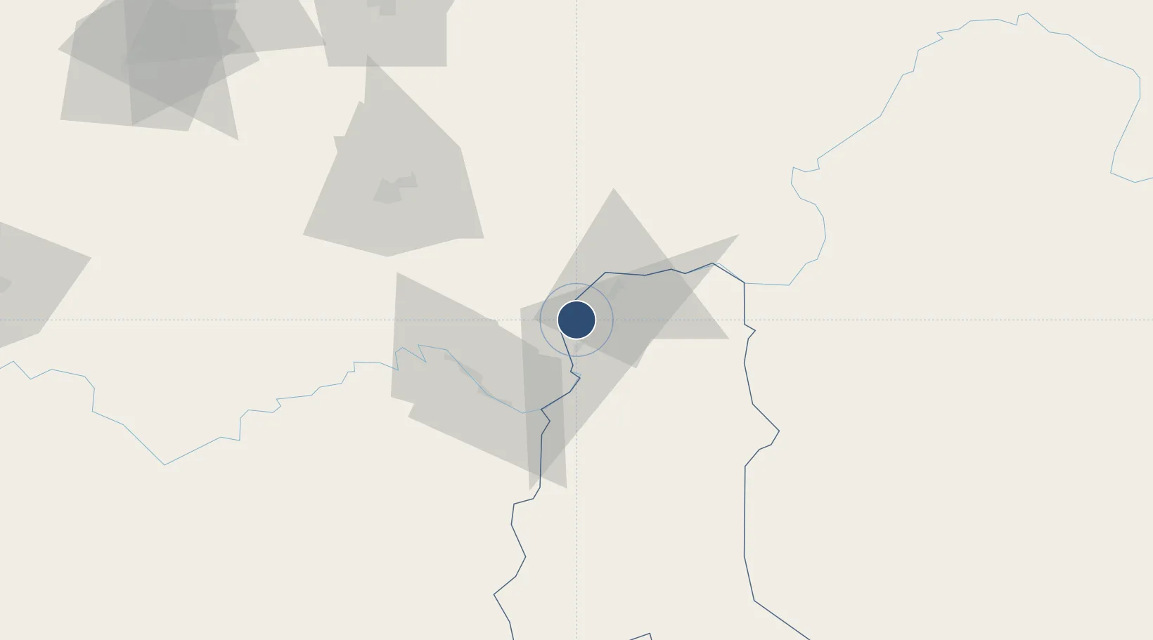
Location
Nearby Logistics Neighbours
Airports
- 1Farkhor Air Base7 km
- 2Qurghonteppa International Airport70 km
- 3Kulob Airport71 km
- 4Kunduz Airport96 km
- 5Fayzabad Airport102 km
Cities
- 1Qurghonteppa74 km
- 2Shaartuz116 km
- 3Termez193 km
- 4Dehdadi234 km
- 5Khujand317 km
Ports
- 1Muhamamad Bin Qasim1421 km
- 2Karachi1425 km
- 3Gwadar1524 km
- 4Chah Bahar1588 km
- 5Kandla1602 km
Trade Zones
DatabookThe Record of Consolidated Knowledge
Afghanistan beyond logistics?