Medium airport · Tajikistan
Kulob AirportUTDK
37.9881°, 69.8050°
9,843 ft
Longest runway
1
Runways
2,293 ft
Elevation
Runway & Layout

Radio Frequencies
TWR
118.5 MHz
Navaids
CG NDB Kulyab 298 kHz
Runways · 1
| Runway | Dimensions | Surface | True heading | Lit |
|---|---|---|---|---|
| 01/19 | 9,843 × 137ft | Asphalt | 017° | ✓ |
Airport Specifications
IATA code
TJU
ICAO code
UTDK
Airport class
Medium airport
Scheduled service
Yes
Runway surface
Asphalt
Served city
Kulyab
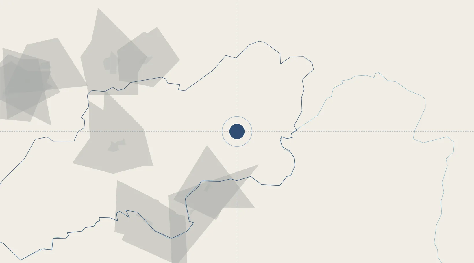
Location
Nearby Logistics Neighbours
Airports
- 1Khovaling Airport45 km
- 2Farkhor Air Base69 km
- 3Qara Tepa Heliport71 km
- 4Qurghonteppa International Airport84 km
- 5Dushanbe International Airport106 km
Cities
- 1Qurghonteppa93 km
- 2Shaartuz169 km
- 3Termez240 km
- 4Khujand254 km
- 5Jizzakh289 km
Ports
- 1Muhamamad Bin Qasim1488 km
- 2Karachi1492 km
- 3Gwadar1595 km
- 4Chah Bahar1659 km
- 5Kandla1663 km
Trade Zones
- 1Kulob Free Economic Zone10 km
- 2Dangara Free Economic Zone52 km
- 3Pyanj Free Economic Zone105 km
- 4Kunduz Special Economic Zone168 km
- 5Ishkoshim Free Economic Zone213 km
DatabookThe Record of Consolidated Knowledge
Tajikistan beyond logistics?