Diversified Zone · Tajikistan

Kulob Free Economic Zone Under Development
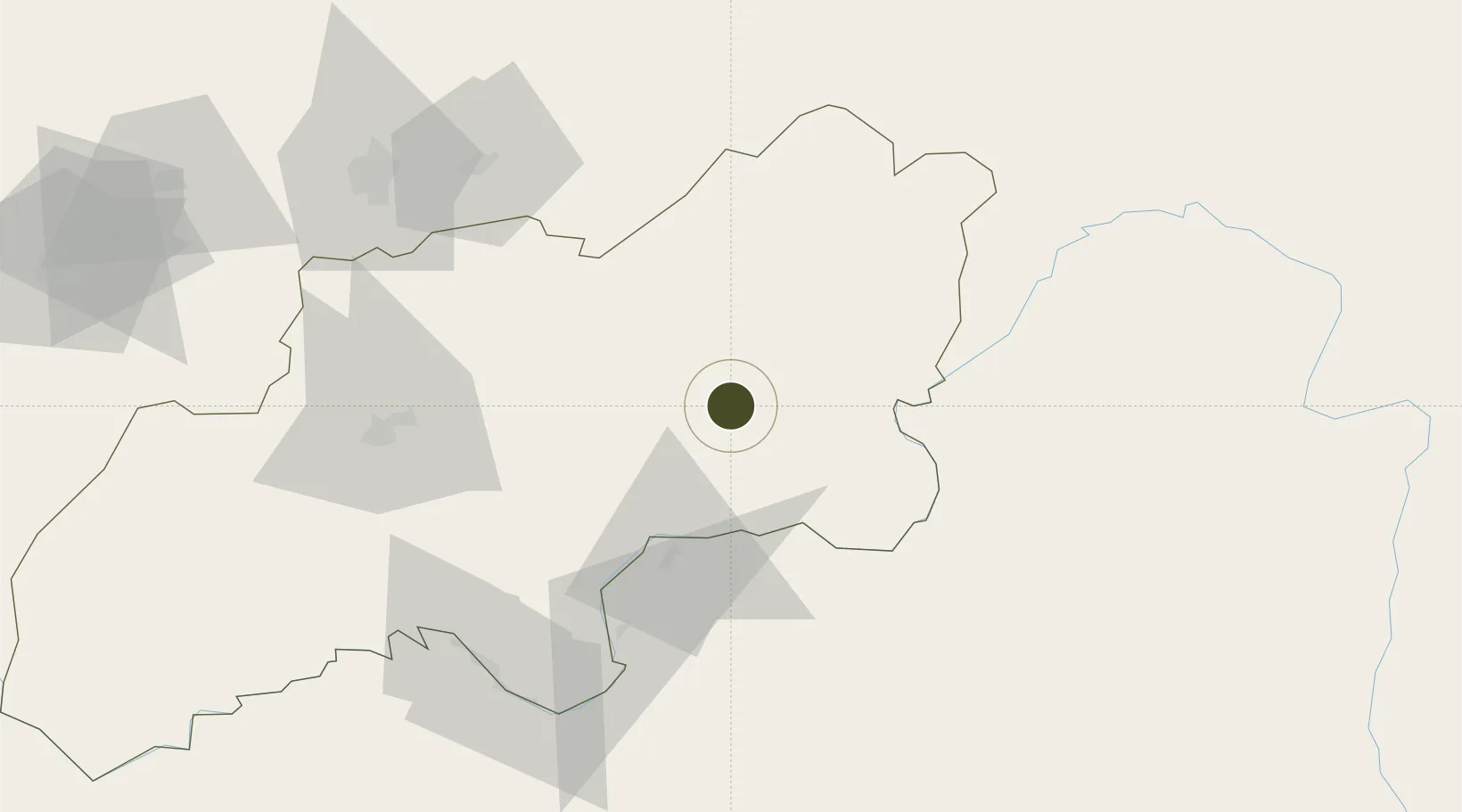
37.9290°, 69.7263°
309 ha
Zone area
1,480.7 km
Nearest port
9.5 km
Nearest airport

Gateway access

Nearest neighbours — logibook spatial index (haversine) over the source coordinates

Zone profile

Zone type
Diversified Zone
Open Zone Map
Region
Khatlon
Open Zone Map
Status
Under Development
Open Zone Map
Management
Public
Open Zone Map
Operator
Administration of FEZ "Kulyab"
Open Zone Map
Legal framework
Resolution on the Creation of Free Economic Zone "Kulyab"
Open Zone Map

Location

Location of ozm-4399
Natural Earth 10m (public domain) · Khatlon · ozm-4399 · 37.93, 69.73GoogleOSMYandex

Nearby Logistics Neighbours

Ports
  1. 1Muhamamad Bin Qasim1481 km
  2. 2Karachi1485 km
  3. 3Gwadar1586 km
  4. 4Chah Bahar1649 km
  5. 5Kandla1657 km
Nearest neighbours — logibook spatial index (haversine) over the source coordinates
Airports
  1. 1Kulob Airport10 km
  2. 2Khovaling Airport54 km
  3. 3Farkhor Air Base59 km
  4. 4Qara Tepa Heliport62 km
  5. 5Qurghonteppa International Airport76 km
Nearest neighbours — logibook spatial index (haversine) over the source coordinates
Cities
  1. 1Qurghonteppa85 km
  2. 2Shaartuz159 km
  3. 3Termez231 km
  4. 4Khujand260 km
  5. 5Dehdadi281 km
Nearest neighbours — logibook spatial index (haversine) over the source coordinates
Trade Zones
  1. 1Dangara Free Economic Zone46 km
  2. 2Pyanj Free Economic Zone96 km
  3. 3Kunduz Special Economic Zone159 km
  4. 4Ishkoshim Free Economic Zone214 km
  5. 5Boysun-pharm Free Economic Zone229 km
Nearest neighbours — logibook spatial index (haversine) over the source coordinates
DatabookThe Record of Consolidated Knowledge
Tajikistan beyond logistics?
Browse databook

All Sources

Trade ZonesOpen Zone Map
CC BY
Portsthe NGA World Port Index
Public domain (US gov)
AirportsOurAirports
Public domain
LocationsUN/LOCODE
UN/LOCODE — free
← Tajikistan trade zones