Medium airport · Tajikistan

Qurghonteppa International AirportUTDT
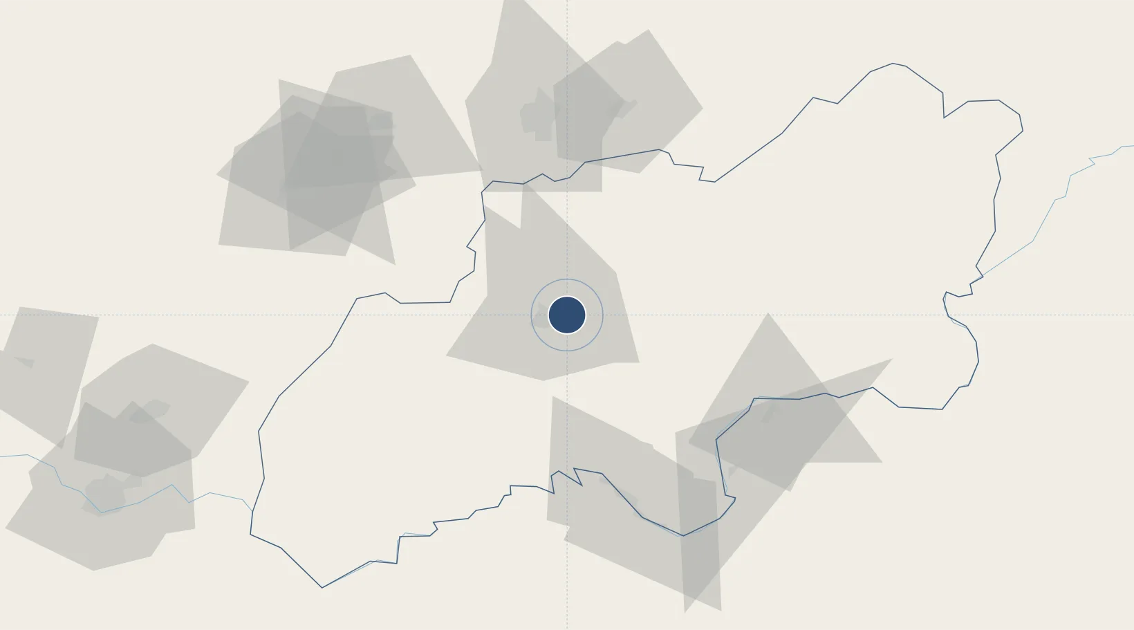
37.8664°, 68.8647°
7,497 ft
Longest runway
1
Runways
1,473 ft
Elevation

Runway & Layout

Qurghonteppa International Airport runway & taxiway layout
Runway & taxiway layout — OpenStreetMap (ODbL) / OurAirports

Runways · 1

RunwayDimensions SurfaceTrue headingLit
17/35 7,497 × —ft
OurAirports

Airport Specifications

IATA code
KQT
OurAirports
ICAO code
UTDT
OurAirports
Airport class
Medium airport
OurAirports
Scheduled service
Yes
OurAirports
Served city
Kurgan-Tyube
OurAirports

Location

Location of UTDT
Natural Earth 10m (public domain) · Khatlon · UTDT · 37.87, 68.86GoogleOSMYandex

Nearby Logistics Neighbours

Airports
  1. 1Farkhor Air Base63 km
  2. 2Qara Tepa Heliport70 km
  3. 3Gissar Air Base74 km
  4. 4Dushanbe International Airport75 km
  5. 5Kulob Airport84 km
Nearest neighbours — logibook spatial index (haversine) over the source coordinates
Cities
  1. 1Qurghonteppa9 km
  2. 2Shaartuz94 km
  3. 3Termez158 km
  4. 4Dehdadi215 km
  5. 5Jizzakh263 km
Nearest neighbours — logibook spatial index (haversine) over the source coordinates
Ports
  1. 1Muhamamad Bin Qasim1464 km
  2. 2Karachi1466 km
  3. 3Gwadar1546 km
  4. 4Chah Bahar1603 km
  5. 5Kandla1654 km
Nearest neighbours — logibook spatial index (haversine) over the source coordinates
Trade Zones
  1. 1Dangara Free Economic Zone38 km
  2. 2Pyanj Free Economic Zone74 km
  3. 3Kulob Free Economic Zone76 km
  4. 4Kunduz Special Economic Zone134 km
  5. 5Boysun-pharm Free Economic Zone156 km
Nearest neighbours — logibook spatial index (haversine) over the source coordinates
DatabookThe Record of Consolidated Knowledge
Tajikistan beyond logistics?
Browse databook

All Sources

AirportsOurAirports
Public domain
Portsthe NGA World Port Index
Public domain (US gov)
LocationsUN/LOCODE
UN/LOCODE — free
Trade Zonesthe World Bank SEZ database
CC BY 4.0
Trade ZonesOpen Zone Map
CC BY
InfrastructureOpenStreetMap
ODbL 1.0
← Tajikistan airports