Diversified Zone · Uzbekistan

Termez Termiz Free Economic Zone Active
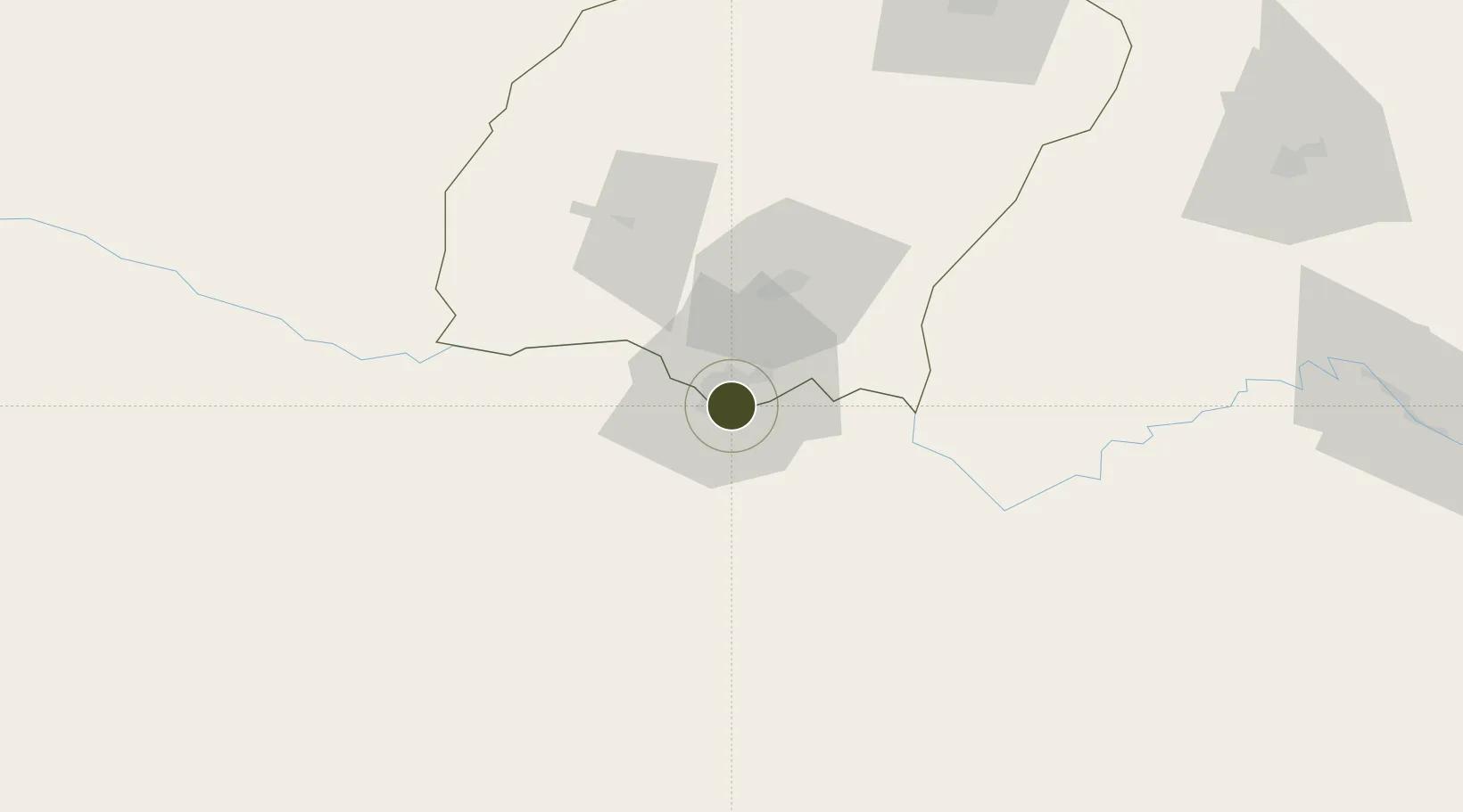
37.2076°, 67.2872°
80 ha
Zone area
1,381.8 km
Nearest port
9.1 km
Nearest airport

Gateway access

Nearest neighbours — logibook spatial index (haversine) over the source coordinates

Zone profile

Zone type
Diversified Zone
Open Zone Map
Region
Surkhandarya
Open Zone Map
Status
Active
Open Zone Map
Management
Public
Open Zone Map
Operator
Directorate of FEZ “Termez"
Open Zone Map
Legal framework
Resolution of the Cabinet of Ministers of 13.03.2020 No. 148
Open Zone Map

Location

Location of ozm-4999
Natural Earth 10m (public domain) · Surkhandarya · ozm-4999 · 37.21, 67.29GoogleOSMYandex

Nearby Logistics Neighbours

Ports
  1. 1Karachi1382 km
  2. 2Muhamamad Bin Qasim1383 km
  3. 3Gwadar1423 km
  4. 4Chah Bahar1470 km
  5. 5Jazireh-Ye Hormoz1516 km
Nearest neighbours — logibook spatial index (haversine) over the source coordinates
Airports
  1. 1Termez Airport9 km
  2. 2Mazar-i-Sharif International Airport56 km
  3. 3Kunduz Airport156 km
  4. 4Qurghonteppa International Airport157 km
  5. 5Farkhor Air Base187 km
Nearest neighbours — logibook spatial index (haversine) over the source coordinates
Cities
  1. 1Termez2 km
  2. 2Dehdadi68 km
  3. 3Shaartuz75 km
  4. 4Qurghonteppa148 km
  5. 5Kerkichi195 km
Nearest neighbours — logibook spatial index (haversine) over the source coordinates
Trade Zones
  1. 1Boysun-pharm Free Economic Zone4 km
  2. 2Mazar-i-Sharif Mazar Special Economic Zone56 km
  3. 3Balkh Special Economic Zone56 km
  4. 4Kunduz Special Economic Zone156 km
  5. 5Pyanj Free Economic Zone161 km
Nearest neighbours — logibook spatial index (haversine) over the source coordinates
DatabookThe Record of Consolidated Knowledge
Uzbekistan beyond logistics?
Browse databook

All Sources

Trade ZonesOpen Zone Map
CC BY
Portsthe NGA World Port Index
Public domain (US gov)
AirportsOurAirports
Public domain
LocationsUN/LOCODE
UN/LOCODE — free
← Uzbekistan trade zones