Transport Functions
Port
Multimodal
Hub Profile
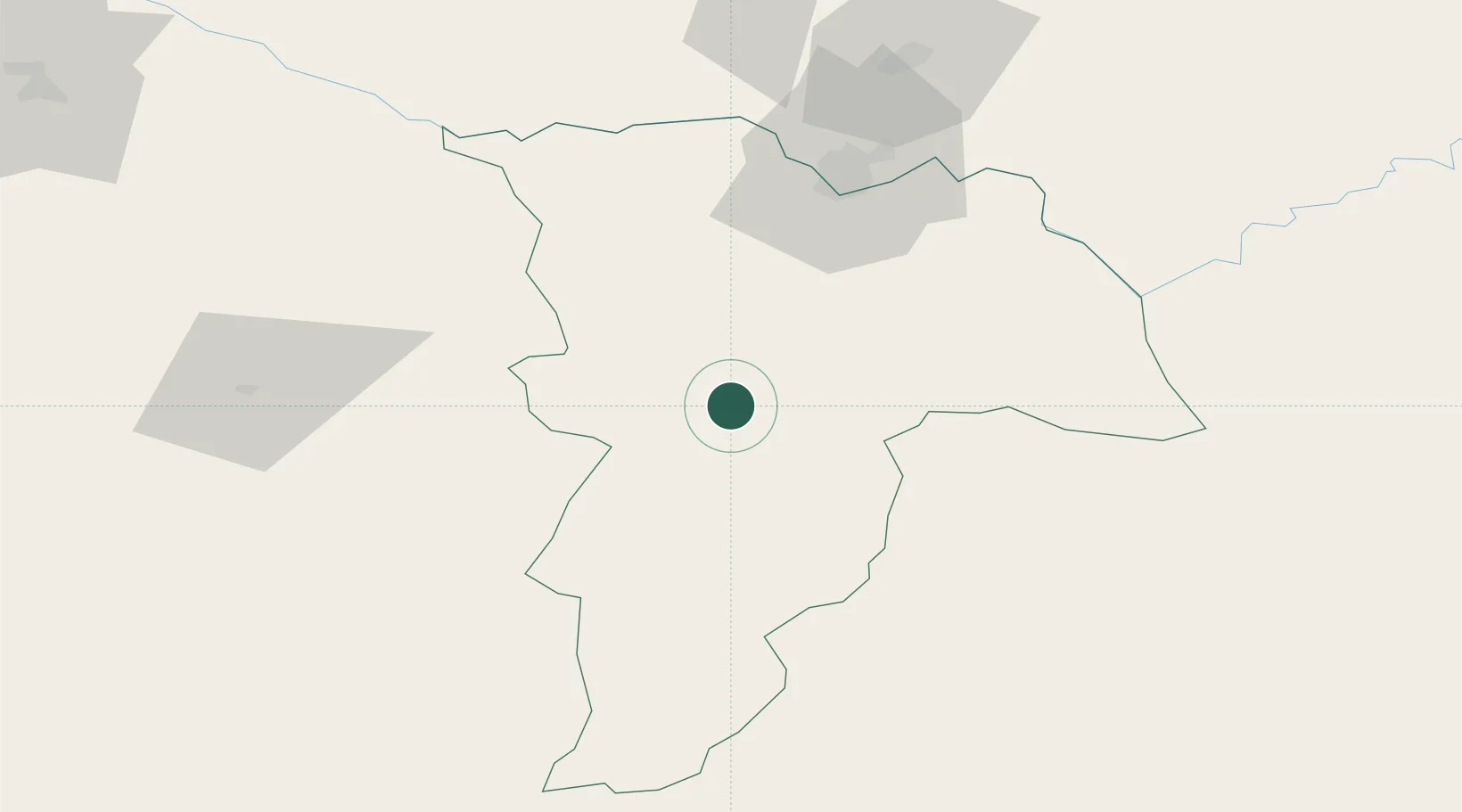
Place type
Provincial seat
Region
Balkh
Time zone
Asia/Kabul
Elevation
398 m
Location
Nearby Logistics Neighbours
Cities
- 1Termez68 km
- 2Shaartuz122 km
- 3Kerkichi204 km
- 4Qurghonteppa206 km
- 5Halach243 km
Ports
- 1Karachi1320 km
- 2Muhamamad Bin Qasim1322 km
- 3Gwadar1356 km
- 4Chah Bahar1403 km
- 5Jazireh-Ye Hormoz1453 km
Airports
- 1Mazar-i-Sharif International Airport21 km
- 2Termez Airport77 km
- 3Kunduz Airport172 km
- 4Qurghonteppa International Airport215 km
- 5Maymana Zahiraddin Faryabi Airport215 km
Trade Zones
DatabookThe Record of Consolidated Knowledge
Afghanistan beyond logistics?