Transport Functions
Multimodal
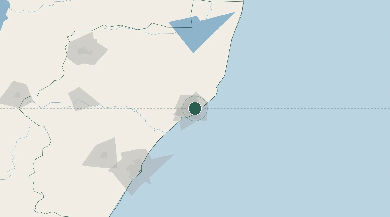
Hub Profile
Place type
Populated place
Region
KwaZulu-Natal
Time zone
Africa/Johannesburg
Elevation
34 m
Location
Nearby Logistics Neighbours
Cities
- 1Felixton14 km
- 2Wandsbeck63 km
- 3Isithebe69 km
- 4Compensation115 km
- 5Ballito Bay115 km
Ports
- 1Richards Bay9 km
- 2Durban153 km
- 3Maputo316 km
- 4East London615 km
- 5Inhambane636 km
Airports
- 1Richards Bay Airport8 km
- 2Prince Mangosuthu Buthelezi Airport77 km
- 3Mkuze Airport127 km
- 4King Shaka International Airport128 km
- 5Virginia Airport145 km
Trade Zones
- 1Richards Bay Special Economic Zone2 km
- 2Isithebe Industrial Park70 km
- 3Durban Aerotropolis126 km
- 4Dube TradeZone128 km
- 5Dube AgriZone130 km
DatabookThe Record of Consolidated Knowledge
South Africa beyond logistics?