Transport Functions
Multimodal
Hub Profile
Place type
Populated place
Region
Gauteng
Time zone
Africa/Johannesburg
Elevation
1,711 m
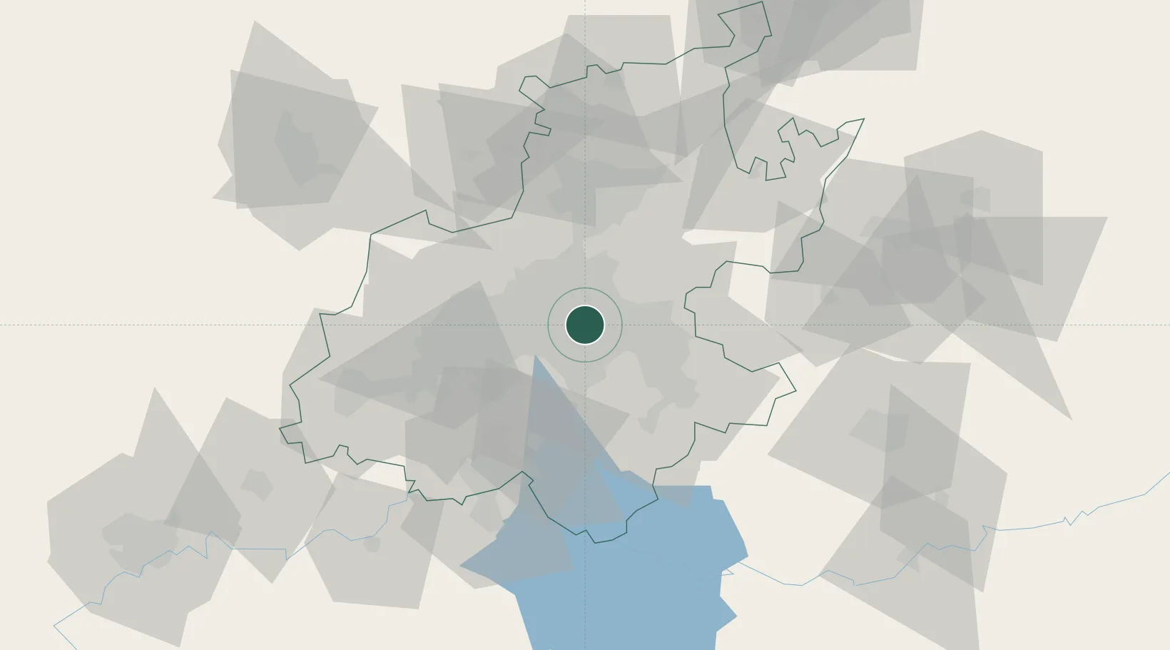
Location
Nearby Logistics Neighbours
Cities
- 1Bedfordview3 km
- 2Witfield3 km
- 3Rosherville4 km
- 4Benrose5 km
- 5Heriotdale/Johannesburg5 km
Ports
- 1Maputo438 km
- 2Richards Bay485 km
- 3Durban499 km
- 4East London762 km
- 5Inhambane771 km
Airports
Trade Zones
DatabookThe Record of Consolidated Knowledge
South Africa beyond logistics?