Export Processing Zone · Singapore

Airport Logistics Park Of Singapore Active
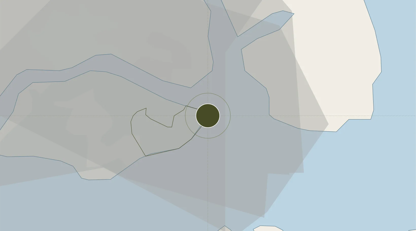
1.3732°, 104.0027°
26 ha
Zone area
13.2 km
Nearest port
2.7 km
Nearest airport

Gateway access

Nearest neighbours — logibook spatial index (haversine) over the source coordinates

Zone profile

Zone type
Export Processing Zone
Open Zone Map
Region
South East
Open Zone Map
Status
Active
Open Zone Map
Management
Private
Open Zone Map
Operator
JTC Corporation (JTC)
Open Zone Map
Legal framework
Free Trade Zones Act (Original Enactment: Act 30 of 1966); Revised Edition 31st May 2014
Open Zone Map

Location

Location of ozm-4133
Natural Earth 10m (public domain) · South East · ozm-4133 · 1.37, 104.00GoogleOSMYandex

Nearby Logistics Neighbours

Ports
  1. 1Johor13 km
  2. 2Keppel - (East Singapore)20 km
  3. 3Pulau Sambu26 km
  4. 4Sekupang28 km
  5. 5Pulau Sebarok30 km
Nearest neighbours — logibook spatial index (haversine) over the source coordinates
Airports
  1. 1Singapore Changi Airport3 km
  2. 2Changi Air Base (East)3 km
  3. 3Paya Lebar Air Base10 km
  4. 4Seletar Airport16 km
  5. 5Sembawang Air Base22 km
Nearest neighbours — logibook spatial index (haversine) over the source coordinates
Cities
  1. 1Changi6 km
  2. 2Kampung Tanjung Langsat11 km
  3. 3Pengerang13 km
  4. 4Pasir Gudang, Johor15 km
  5. 5Johor Bahru17 km
Nearest neighbours — logibook spatial index (haversine) over the source coordinates
Trade Zones
  1. 1Changi Airport Free Trade Zone2 km
  2. 2Tanjung Langsat Commercial Free Zone11 km
  3. 3Punggol Digital District11 km
  4. 4Pasir Gudang Free Zone14 km
  5. 5Pasir Gudang Free Industrial Zone19 km
Nearest neighbours — logibook spatial index (haversine) over the source coordinates
DatabookThe Record of Consolidated Knowledge
Singapore beyond logistics?
Browse databook

All Sources

Trade ZonesOpen Zone Map
CC BY
Portsthe NGA World Port Index
Public domain (US gov)
AirportsOurAirports
Public domain
LocationsUN/LOCODE
UN/LOCODE — free
← Singapore trade zones