Seaport · Indonesia

SekupangIDSKP

1.1333°, 103.9167°
9.4 m
Channel depth
Sekupang is also a UN/LOCODE logistics hub →

Channel & Berth Profile

SEA LEVEL (CD)CHANNEL BEDChannel · 9.4 mCargo pier · 11.0 mAnchorage · 15.5 m
NGA World Port Index

Pilotage, Tugs & Services

Pilotage availableNO
Potable waterYES
NGA World Port Index

Facilities & Capabilities

Container
Ro-Ro
Liquid bulk
Dry bulk
Oil terminal
Break bulk
Dry dock
Repairs
BunkeringNO
Rail link
Dangerous cargo
ISPS security
NGA World Port Index

Harbour Specifications

Harbour size
Very Small
NGA World Port Index
Harbour type
Open Roadstead
NGA World Port Index
Shelter
Poor
NGA World Port Index
Water body
Strait of Malacca; Indian Ocean
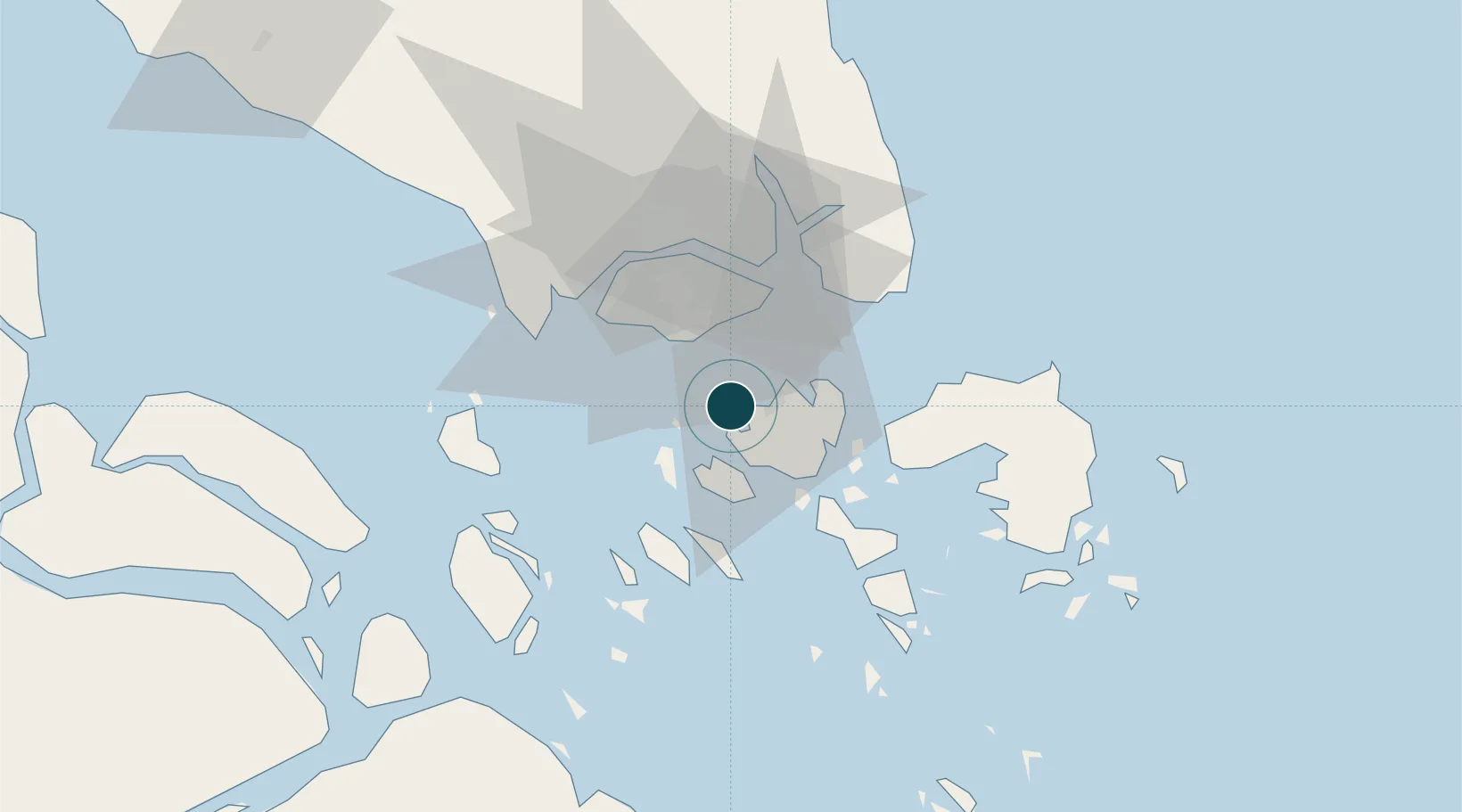
NGA World Port Index

Location

Location of IDSKP
Natural Earth 10m (public domain) · Kepulauan Riau · IDSKP · 1.13, 103.92GoogleOSMYandex

Nearby Logistics Neighbours

Ports
  1. 1Pulau Sambu4 km
  2. 2Pulau Sebarok15 km
  3. 3Keppel - (East Singapore)18 km
  4. 4Pulau Bukom20 km
  5. 5Jurong Island26 km
Nearest neighbours — logibook spatial index (haversine) over the source coordinates
Cities
  1. 1Batam Island10 km
  2. 2Batu Ampar12 km
  3. 3Choa Chu Kang18 km
  4. 4Clementi18 km
  5. 5West Coast Town18 km
Nearest neighbours — logibook spatial index (haversine) over the source coordinates
Airports
  1. 1Hang Nadim International Airport23 km
  2. 2Paya Lebar Air Base25 km
  3. 3Changi Air Base (East)26 km
  4. 4Singapore Changi Airport26 km
  5. 5Seletar Airport32 km
Nearest neighbours — logibook spatial index (haversine) over the source coordinates
Trade Zones
  1. 1West Point Maritime Industrial Park1 km
  2. 2Latrade Industrial Park9 km
  3. 3Bintang Industrial Park11 km
  4. 4Citra Buana Centre Park Ii11 km
  5. 5Union Industrial Park12 km
Nearest neighbours — logibook spatial index (haversine) over the source coordinates
DatabookThe Record of Consolidated Knowledge
Indonesia beyond logistics?
Browse databook

All Sources

Portsthe NGA World Port Index
Public domain (US gov)
AirportsOurAirports
Public domain
LocationsUN/LOCODE
UN/LOCODE — free
Trade Zonesthe World Bank SEZ database
CC BY 4.0
Trade ZonesOpen Zone Map
CC BY
← Indonesia ports