Free Trade Zone · Serbia

Beograd Free Zone Active
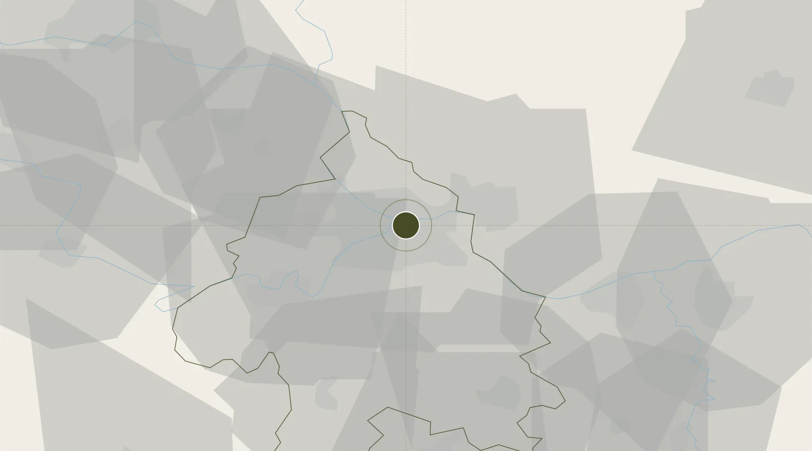
44.8252°, 20.4828°
96 ha
Zone area
294.0 km
Nearest port
13.7 km
Nearest airport

Gateway access

Nearest neighbours — logibook spatial index (haversine) over the source coordinates

Zone profile

Zone type
Free Trade Zone
Open Zone Map
Region
Grad Beograd
Open Zone Map
Status
Active
Open Zone Map
Management
Public-Private Partnership
Open Zone Map
Operator
Slobodna Zona Beograd A.D.
Open Zone Map
Legal framework
Free Zone Law 62/2006
Open Zone Map

Location

Location of ozm-4118
Natural Earth 10m (public domain) · Grad Beograd · ozm-4118 · 44.83, 20.48GoogleOSMYandex

Nearby Logistics Neighbours

Ports
  1. 1Risan294 km
  2. 2Kotor301 km
  3. 3Tivat302 km
  4. 4Dubrovnik308 km
  5. 5Neum314 km
Nearest neighbours — logibook spatial index (haversine) over the source coordinates
Airports
  1. 1Belgrade Nikola Tesla Airport14 km
  2. 2Batajnica Air Base22 km
  3. 3Morava Airport112 km
  4. 4Ponikve Airport120 km
  5. 5Timișoara Traian Vuia International Airport128 km
Nearest neighbours — logibook spatial index (haversine) over the source coordinates
Cities
  1. 1Pancevo4 km
  2. 2Novi Beograd6 km
  3. 3Zemun7 km
  4. 4Belgrade (Beograd)11 km
  5. 5Surcin16 km
Nearest neighbours — logibook spatial index (haversine) over the source coordinates
Trade Zones
  1. 1Smederevo Free Zone40 km
  2. 2Zrenjanin Free Zone61 km
  3. 3Novi Sad Free Zone70 km
  4. 4Svilajnac Free Zone85 km
  5. 5ō abac Free Zone95 km
Nearest neighbours — logibook spatial index (haversine) over the source coordinates
DatabookThe Record of Consolidated Knowledge
Serbia beyond logistics?
Browse databook

All Sources

Trade ZonesOpen Zone Map
CC BY
Portsthe NGA World Port Index
Public domain (US gov)
AirportsOurAirports
Public domain
LocationsUN/LOCODE
UN/LOCODE — free
← Serbia trade zones