Transport Functions
Rail
Road
Airport
Postal
Hub Profile
Region
00
Logistics facilities
10
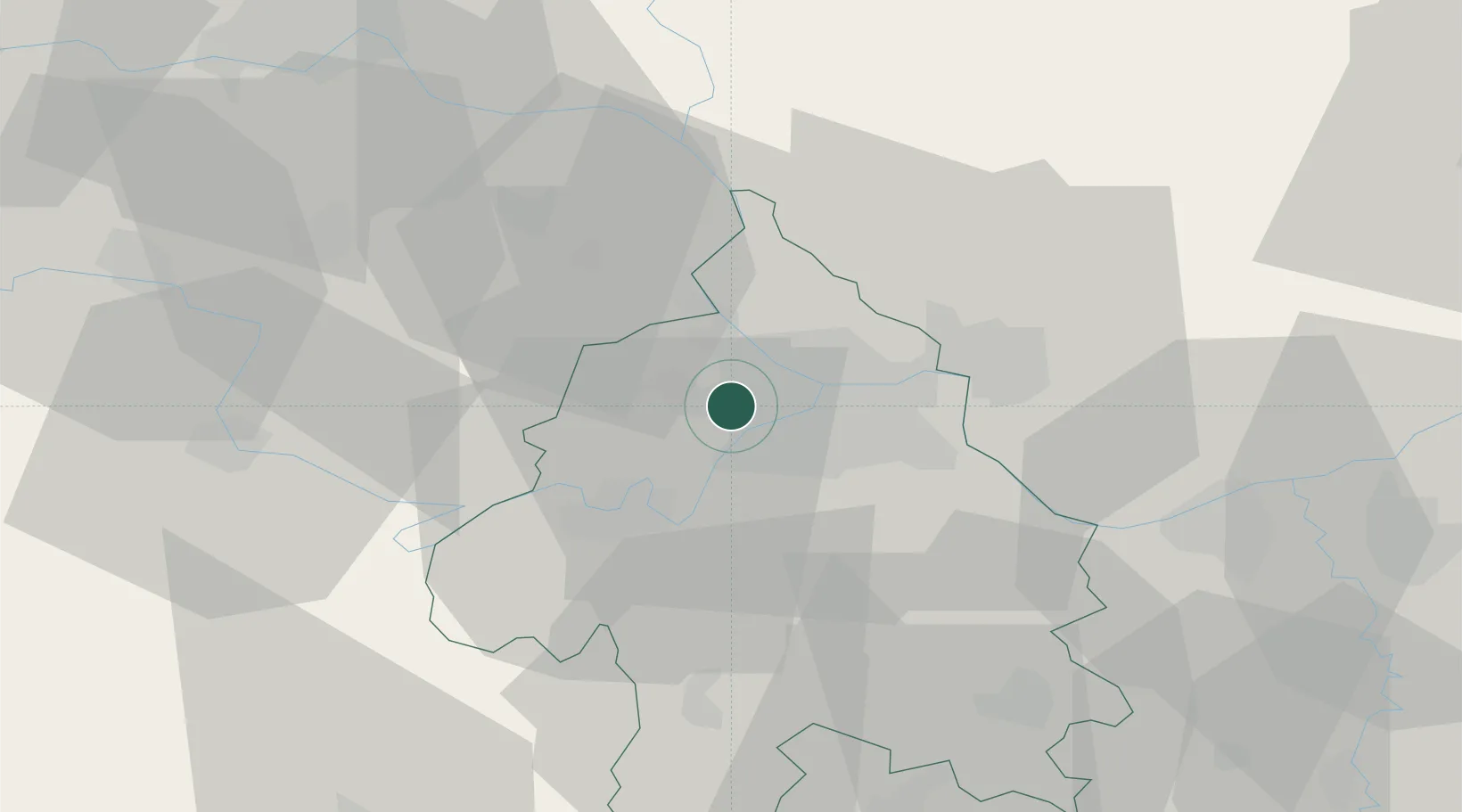
Location
Nearby Logistics Neighbours
Cities
- 1Surcin5 km
- 2Zemun5 km
- 3Novi Beograd6 km
- 4Dobanovci10 km
- 5Pancevo14 km
Airports
- 1Belgrade Nikola Tesla Airport3 km
- 2Batajnica Air Base15 km
- 3Morava Airport112 km
- 4Ponikve Airport114 km
- 5Tuzla International Airport134 km
Trade Zones
- 1Beograd Free Zone11 km
- 2Smederevo Free Zone50 km
- 3Zrenjanin Free Zone62 km
- 4Novi Sad Free Zone64 km
- 5ō abac Free Zone84 km
DatabookThe Record of Consolidated Knowledge
Serbia beyond logistics?