Free Trade Zone · Serbia

Svilajnac Free Zone Active
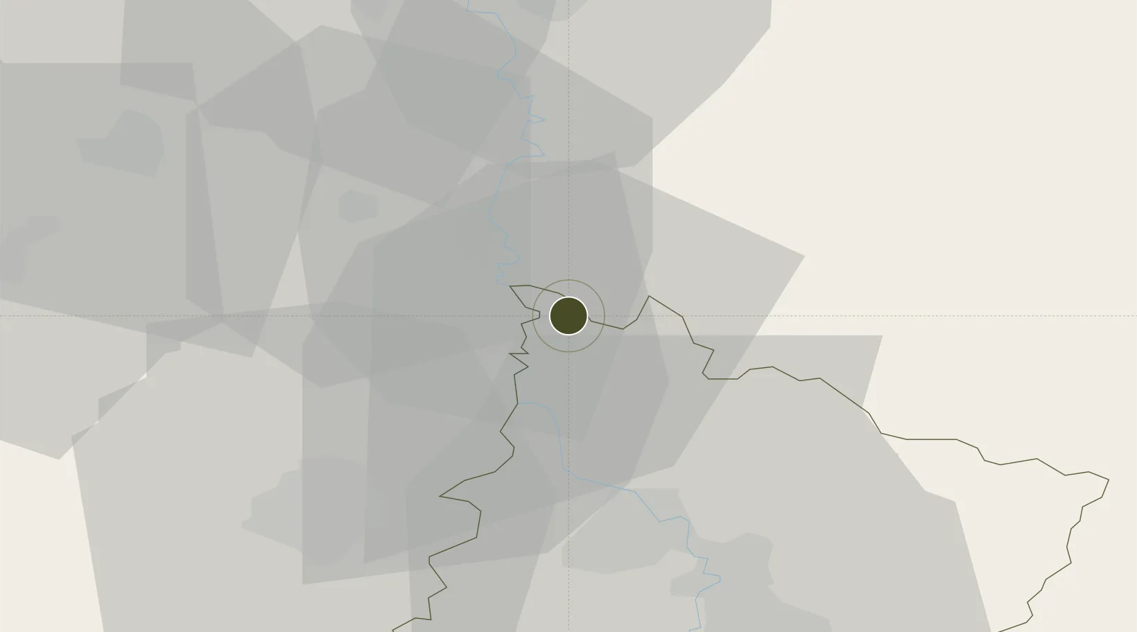
44.2531°, 21.2011°
33 ha
Zone area
279.5 km
Nearest port
69.0 km
Nearest airport

Gateway access

Nearest neighbours — logibook spatial index (haversine) over the source coordinates

Zone profile

Zone type
Free Trade Zone
Open Zone Map
Region
Pomoravski
Open Zone Map
Status
Active
Open Zone Map
Management
Public
Open Zone Map
Operator
Društvo za Upravljanje Slobodnom Zonom Svilajnac D.O.O. Svilajnac
Open Zone Map
Legal framework
Free Zone Law 62/2006
Open Zone Map

Location

Location of ozm-4114
Natural Earth 10m (public domain) · Pomoravski · ozm-4114 · 44.25, 21.20GoogleOSMYandex

Nearby Logistics Neighbours

Ports
  1. 1Risan280 km
  2. 2Kotor284 km
  3. 3Tivat286 km
  4. 4Bar296 km
  5. 5Shengjin301 km
Nearest neighbours — logibook spatial index (haversine) over the source coordinates
Airports
  1. 1Morava Airport69 km
  2. 2Belgrade Nikola Tesla Airport95 km
  3. 3Batajnica Air Base107 km
  4. 4Niš Constantine the Great Airport115 km
  5. 5Ponikve Airport126 km
Nearest neighbours — logibook spatial index (haversine) over the source coordinates
Cities
  1. 1Smederevska Palanka23 km
  2. 2Lozovik25 km
  3. 3Jagodina32 km
  4. 4Kragujevac35 km
  5. 5Cuprija38 km
Nearest neighbours — logibook spatial index (haversine) over the source coordinates
Trade Zones
  1. 1FAS Free Zone Kragujevac37 km
  2. 2Smederevo Free Zone51 km
  3. 3Kruševac Free Zone77 km
  4. 4Beograd Free Zone85 km
  5. 5Uō¾ice Free Zone114 km
Nearest neighbours — logibook spatial index (haversine) over the source coordinates
DatabookThe Record of Consolidated Knowledge
Serbia beyond logistics?
Browse databook

All Sources

Trade ZonesOpen Zone Map
CC BY
Portsthe NGA World Port Index
Public domain (US gov)
AirportsOurAirports
Public domain
LocationsUN/LOCODE
UN/LOCODE — free
← Serbia trade zones