Free Trade Zone · Serbia

Smederevo Free Zone Active
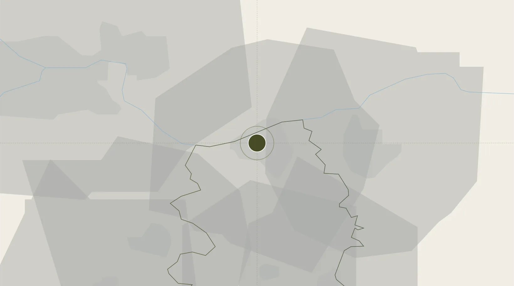
44.6695°, 20.9336°
540 ha
Zone area
299.4 km
Nearest port
52.0 km
Nearest airport

Gateway access

Nearest neighbours — logibook spatial index (haversine) over the source coordinates

Zone profile

Zone type
Free Trade Zone
Open Zone Map
Region
Podunavski
Open Zone Map
Status
Active
Open Zone Map
Management
Public-Private Partnership
Open Zone Map
Operator
Slobodna Zona Smederevo D.O.O.
Open Zone Map
Legal framework
Free Zone Law 62/2006
Open Zone Map

Location

Location of ozm-4125
Natural Earth 10m (public domain) · Podunavski · ozm-4125 · 44.67, 20.93GoogleOSMYandex

Nearby Logistics Neighbours

Ports
  1. 1Risan299 km
  2. 2Kotor305 km
  3. 3Tivat307 km
  4. 4Dubrovnik320 km
  5. 5Bar324 km
Nearest neighbours — logibook spatial index (haversine) over the source coordinates
Airports
  1. 1Belgrade Nikola Tesla Airport52 km
  2. 2Batajnica Air Base61 km
  3. 3Morava Airport99 km
  4. 4Ponikve Airport131 km
  5. 5Timișoara Traian Vuia International Airport131 km
Nearest neighbours — logibook spatial index (haversine) over the source coordinates
Cities
  1. 1Smederevo3 km
  2. 2Kovin10 km
  3. 3Pozarevac20 km
  4. 4Lozovik26 km
  5. 5Smederevska Palanka36 km
Nearest neighbours — logibook spatial index (haversine) over the source coordinates
Trade Zones
  1. 1Beograd Free Zone40 km
  2. 2Svilajnac Free Zone51 km
  3. 3FAS Free Zone Kragujevac75 km
  4. 4Zrenjanin Free Zone89 km
  5. 5Novi Sad Free Zone108 km
Nearest neighbours — logibook spatial index (haversine) over the source coordinates
DatabookThe Record of Consolidated Knowledge
Serbia beyond logistics?
Browse databook

All Sources

Trade ZonesOpen Zone Map
CC BY
Portsthe NGA World Port Index
Public domain (US gov)
AirportsOurAirports
Public domain
LocationsUN/LOCODE
UN/LOCODE — free
← Serbia trade zones