Large airport · Romania
Timișoara Traian Vuia International AirportLRTR
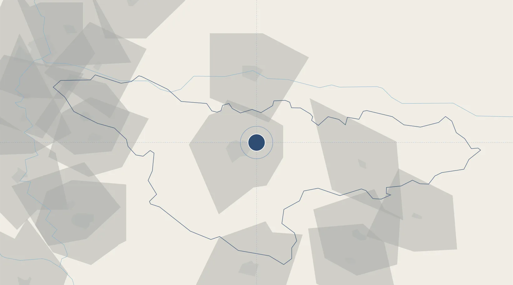
45.8099°, 21.3379°
11,483 ft
Longest runway
1
Runways
348 ft
Elevation
Runway & Layout

Radio Frequencies
TWR
120.1 MHz
TIMISOARA TWR
GND
121.6 MHz
TIMISOARA GND
APP
120.1 MHz
TIMISOARA APP
Navaids
TSR NDB Timisoara 408 kHz
Runways · 1
| Runway | Dimensions | Surface | True heading | Lit |
|---|---|---|---|---|
| 11/29 | 11,483 × 148ft | Concrete | 110° | ✓ |
Airport Specifications
IATA code
TSR
ICAO code
LRTR
Airport class
Large airport
Scheduled service
Yes
Runway surface
Concrete
Served city
Timişoara
Location
Nearby Logistics Neighbours
Airports
- 1Arad International Airport41 km
- 2Caransebeş Airport83 km
- 3Batajnica Air Base129 km
- 4Belgrade Nikola Tesla Airport137 km
- 5Oradea International Airport142 km
Cities
- 1Remetea Mare5 km
- 2Izvin9 km
- 3Recas14 km
- 4Sacalaz20 km
- 5Becicherecu Mic23 km
Trade Zones
- 1VGP Park Timisoara13 km
- 2VGP Park Arad41 km
- 3Free Zone Curtici Arad60 km
- 4Zrenjanin Free Zone89 km
- 5Beograd Free Zone128 km
DatabookThe Record of Consolidated Knowledge
Romania beyond logistics?