Medium airport · Serbia
Morava AirportLYKV
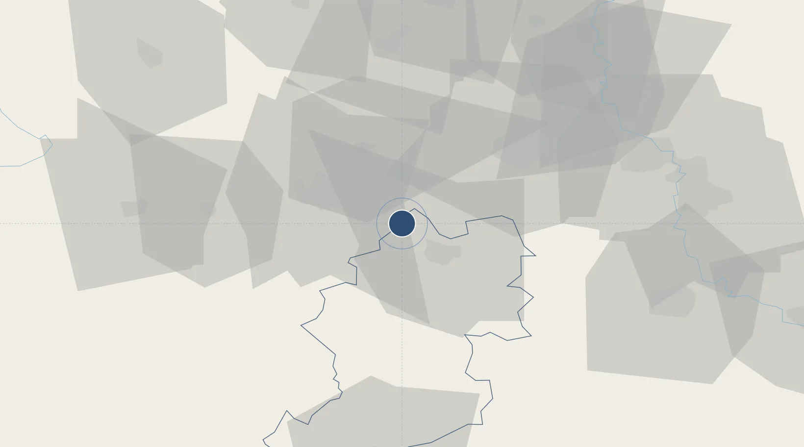
43.8175°, 20.5867°
7,431 ft
Longest runway
1
Runways
686 ft
Elevation
Runway & Layout

Runways · 1
| Runway | Dimensions | Surface | True heading | Lit |
|---|---|---|---|---|
| 13/31 | 7,431 × 98ft | asphalt | 133° | — |
Airport Specifications
IATA code
KVO
ICAO code
LYKV
Airport class
Medium airport
Scheduled service
Yes
Runway surface
asphalt
Served city
Kraljevo
Location
Nearby Logistics Neighbours
Airports
Cities
- 1Bresnica6 km
- 2Knic15 km
- 3Kraljevo16 km
- 4Cacak22 km
- 5Gornji Milanovac26 km
Trade Zones
- 1FAS Free Zone Kragujevac32 km
- 2Uō¾ice Free Zone55 km
- 3Kruševac Free Zone68 km
- 4Svilajnac Free Zone69 km
- 5Priboj Free Zone91 km
DatabookThe Record of Consolidated Knowledge
Serbia beyond logistics?