Transport Functions
Rail
Road
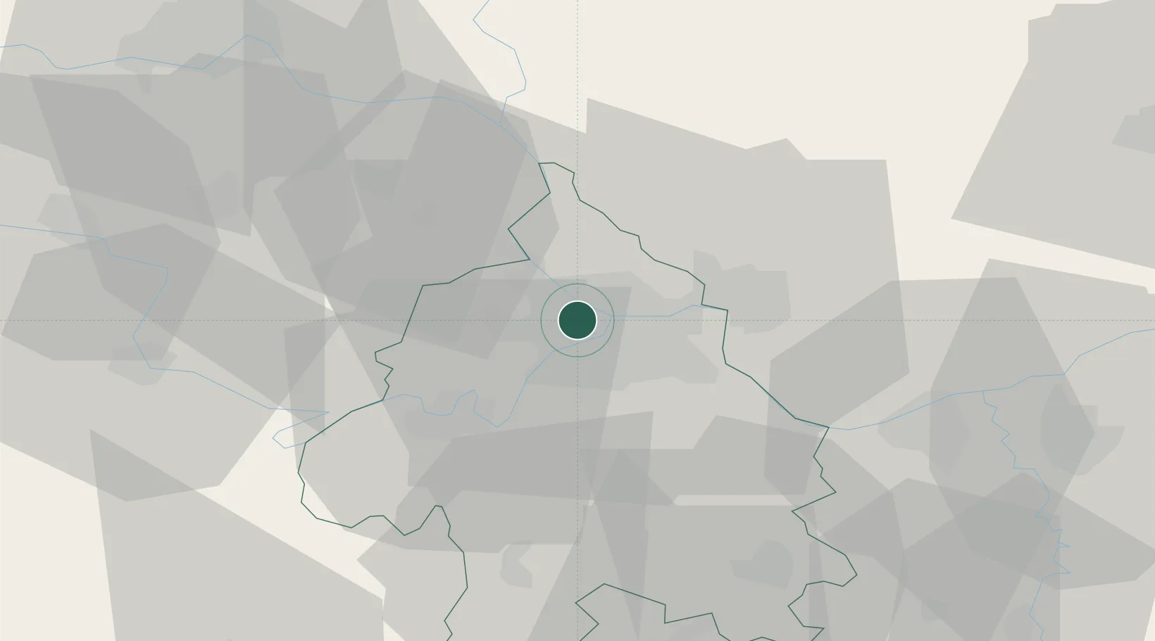
Hub Profile
Place type
District seat
Region
Central Serbia
Population
155,591
Time zone
Europe/Belgrade
Elevation
100 m
Location
Nearby Logistics Neighbours
Cities
- 1Novi Beograd4 km
- 2Belgrade (Beograd)5 km
- 3Surcin10 km
- 4Pancevo10 km
- 5Dobanovci15 km
Airports
- 1Belgrade Nikola Tesla Airport7 km
- 2Batajnica Air Base16 km
- 3Morava Airport114 km
- 4Ponikve Airport118 km
- 5Timișoara Traian Vuia International Airport131 km
Trade Zones
- 1Beograd Free Zone7 km
- 2Smederevo Free Zone46 km
- 3Zrenjanin Free Zone60 km
- 4Novi Sad Free Zone65 km
- 5ō abac Free Zone89 km
DatabookThe Record of Consolidated Knowledge
Serbia beyond logistics?