Transport Functions
Rail
Road
Hub Profile
Place type
Provincial seat
Region
Vojvodina
Population
76,654
Time zone
Europe/Belgrade
Elevation
83 m
Logistics facilities
1
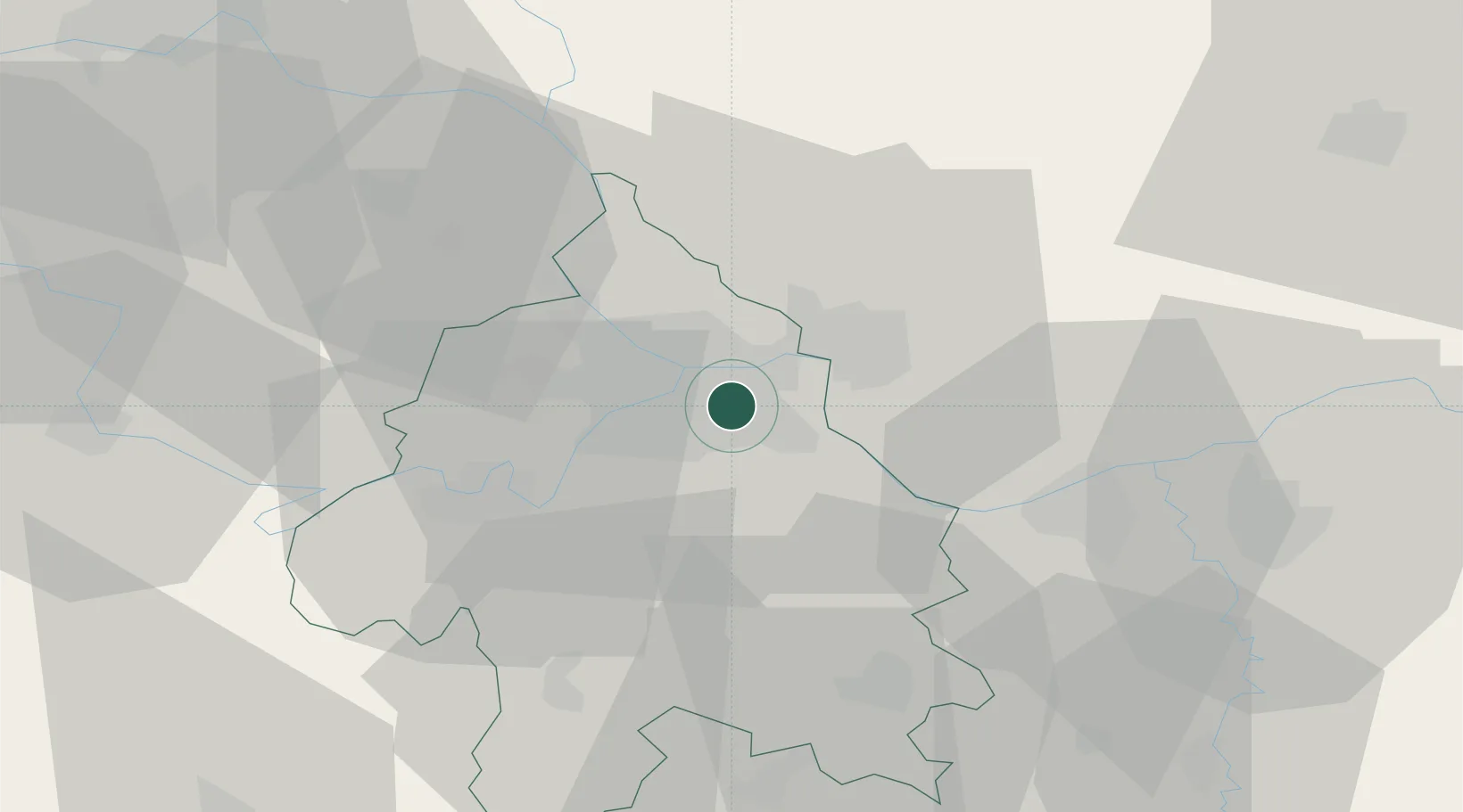
Location
Nearby Logistics Neighbours
Cities
- 1Novi Beograd8 km
- 2Zemun10 km
- 3Belgrade (Beograd)14 km
- 4Surcin18 km
- 5Dobanovci24 km
Airports
- 1Belgrade Nikola Tesla Airport16 km
- 2Batajnica Air Base26 km
- 3Morava Airport109 km
- 4Ponikve Airport119 km
- 5Timișoara Traian Vuia International Airport130 km
Trade Zones
- 1Beograd Free Zone4 km
- 2Smederevo Free Zone36 km
- 3Zrenjanin Free Zone65 km
- 4Novi Sad Free Zone75 km
- 5Svilajnac Free Zone81 km
DatabookThe Record of Consolidated Knowledge
Serbia beyond logistics?