Transport Functions
Multimodal
Hub Profile
Place type
District seat
Region
Central Serbia
Population
12,575
Time zone
Europe/Belgrade
Elevation
87 m
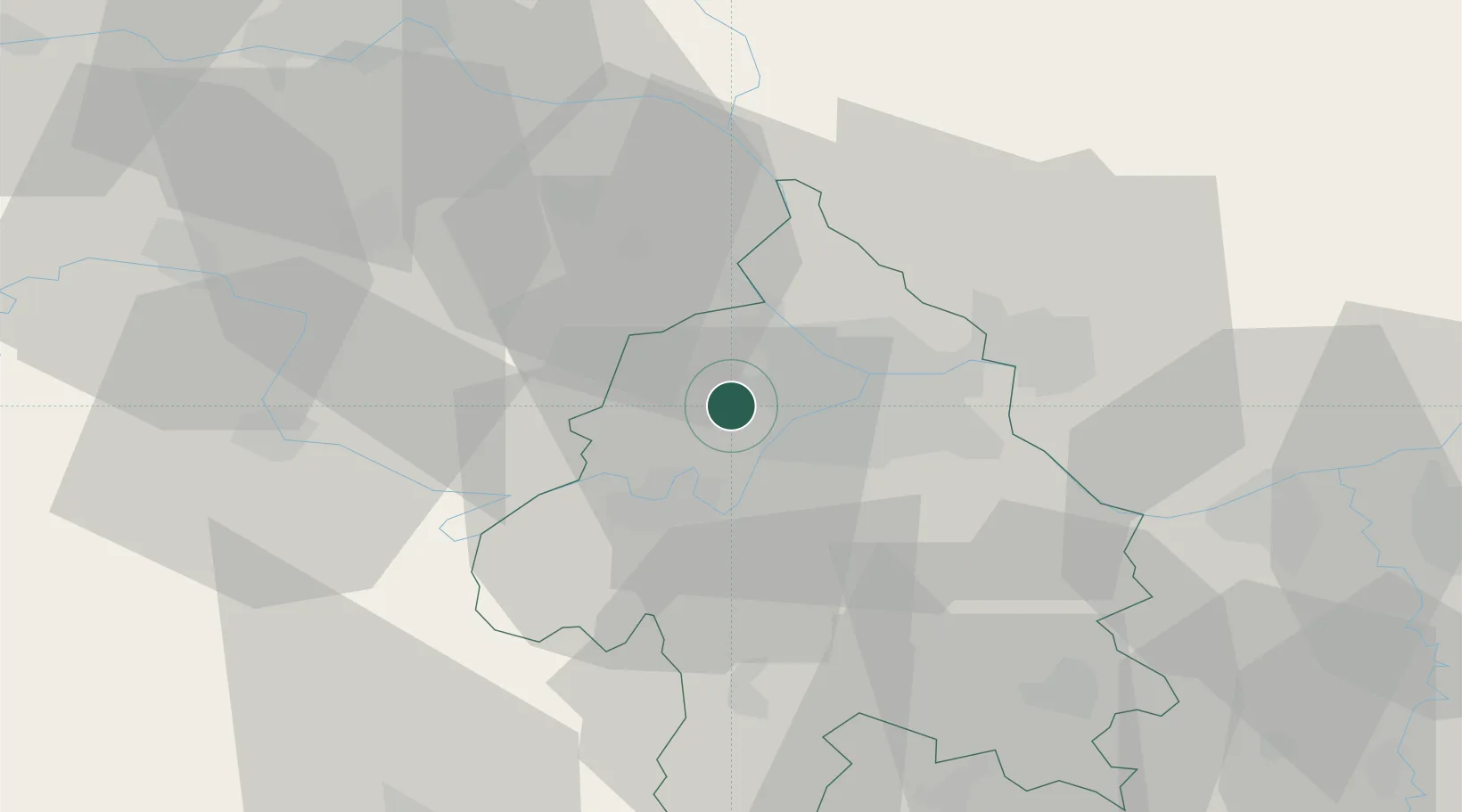
Location
Nearby Logistics Neighbours
Cities
- 1Belgrade (Beograd)5 km
- 2Dobanovci6 km
- 3Zemun10 km
- 4Novi Beograd11 km
- 5Nova Pazova15 km
Airports
- 1Belgrade Nikola Tesla Airport3 km
- 2Batajnica Air Base15 km
- 3Ponikve Airport111 km
- 4Morava Airport112 km
- 5Tuzla International Airport129 km
Trade Zones
- 1Beograd Free Zone16 km
- 2Smederevo Free Zone53 km
- 3Novi Sad Free Zone63 km
- 4Zrenjanin Free Zone64 km
- 5ō abac Free Zone79 km
DatabookThe Record of Consolidated Knowledge
Serbia beyond logistics?