Transport Functions
Multimodal
Hub Profile
Place type
District seat
Region
Central Serbia
Time zone
Europe/Belgrade
Elevation
71 m
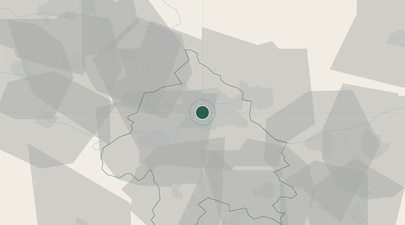
Location
Nearby Logistics Neighbours
Cities
- 1Zemun4 km
- 2Belgrade (Beograd)6 km
- 3Pancevo8 km
- 4Surcin11 km
- 5Dobanovci16 km
Airports
- 1Belgrade Nikola Tesla Airport9 km
- 2Batajnica Air Base20 km
- 3Morava Airport110 km
- 4Ponikve Airport115 km
- 5Timișoara Traian Vuia International Airport133 km
Trade Zones
- 1Beograd Free Zone6 km
- 2Smederevo Free Zone43 km
- 3Zrenjanin Free Zone64 km
- 4Novi Sad Free Zone69 km
- 5Svilajnac Free Zone87 km
DatabookThe Record of Consolidated Knowledge
Serbia beyond logistics?