UN/LOCODE hub · Serbia
RSPOZ

Pozega

43.8333°, 20.0333°
2
Transport functions

Transport Functions

Rail
Road
UN/LOCODE

Hub Profile

Place type
District seat
GeoNames
Region
Central Serbia
GeoNames
Time zone
Europe/Belgrade
GeoNames
Elevation
321 m
GeoNames

Location

Location of RSPOZ
Natural Earth 10m (public domain) · Central Serbia · RSPOZ · 43.83, 20.03GoogleOSMYandex

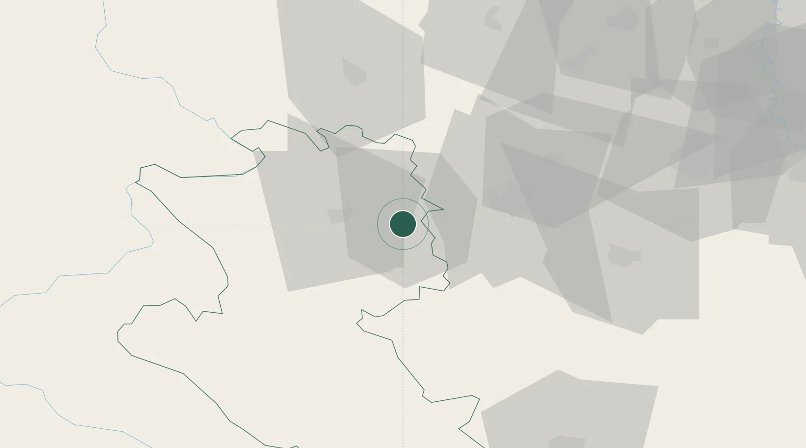
Nearby Logistics Neighbours

Cities
  1. 1Sevojno12 km
  2. 2Uzice16 km
  3. 3Cacak25 km
  4. 4Gornji Milanovac40 km
  5. 5Bresnica44 km
Nearest neighbours — logibook spatial index (haversine) over the source coordinates
Ports
  1. 1Risan182 km
  2. 2Kotor188 km
  3. 3Tivat190 km
  4. 4Dubrovnik204 km
  5. 5Bar209 km
Nearest neighbours — logibook spatial index (haversine) over the source coordinates
Airports
  1. 1Ponikve Airport28 km
  2. 2Morava Airport44 km
  3. 3Belgrade Nikola Tesla Airport112 km
  4. 4Batajnica Air Base124 km
  5. 5Tuzla International Airport126 km
Nearest neighbours — logibook spatial index (haversine) over the source coordinates
Trade Zones
  1. 1Uō¾ice Free Zone11 km
  2. 2Priboj Free Zone49 km
  3. 3FAS Free Zone Kragujevac72 km
  4. 4ō abac Free Zone86 km
  5. 5Svilajnac Free Zone104 km
Nearest neighbours — logibook spatial index (haversine) over the source coordinates
DatabookThe Record of Consolidated Knowledge
Serbia beyond logistics?
Browse databook

All Sources

LocationsUN/LOCODE
UN/LOCODE — free
Portsthe NGA World Port Index
Public domain (US gov)
AirportsOurAirports
Public domain
Trade Zonesthe World Bank SEZ database
CC BY 4.0
Trade ZonesOpen Zone Map
CC BY
← Serbia locations