Transport Functions
Rail
Road
Airport
Hub Profile
Place type
Provincial seat
Region
Central Serbia
Population
63,577
Time zone
Europe/Belgrade
Elevation
438 m
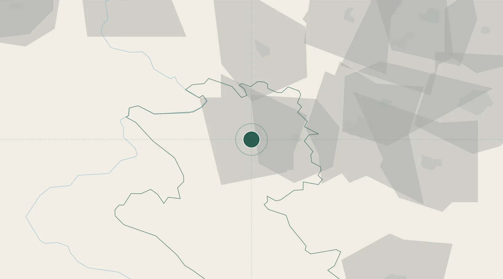
Location
Nearby Logistics Neighbours
Cities
- 1Sevojno4 km
- 2Pozega16 km
- 3Cacak40 km
- 4Valjevo47 km
- 5Gornji Milanovac53 km
Airports
- 1Ponikve Airport12 km
- 2Morava Airport61 km
- 3Tuzla International Airport112 km
- 4Belgrade Nikola Tesla Airport114 km
- 5Sarajevo International Airport121 km
Trade Zones
- 1Uō¾ice Free Zone5 km
- 2Priboj Free Zone37 km
- 3ō abac Free Zone77 km
- 4FAS Free Zone Kragujevac87 km
- 5Free Zone Vogošća118 km
DatabookThe Record of Consolidated Knowledge
Serbia beyond logistics?