Free Trade Zone · Serbia

FAS Free Zone Kragujevac Active
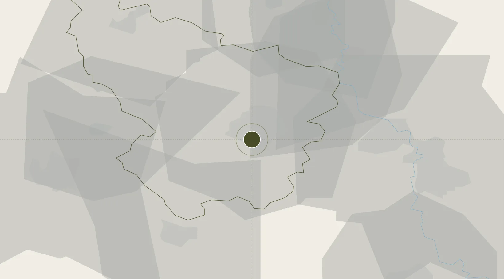
43.9980°, 20.9013°
176 ha
Zone area
242.7 km
Nearest port
32.2 km
Nearest airport

Gateway access

Nearest neighbours — logibook spatial index (haversine) over the source coordinates

Zone profile

Zone type
Free Trade Zone
Open Zone Map
Region
Šumadijski
Open Zone Map
Status
Active
Open Zone Map
Management
Private
Open Zone Map
Operator
Slobodna Zona FAS D.O.O.
Open Zone Map
Legal framework
Free Zone Law 62/2006
Open Zone Map

Location

Location of ozm-4123
Natural Earth 10m (public domain) · Šumadijski · ozm-4123 · 44.00, 20.90GoogleOSMYandex

Nearby Logistics Neighbours

Ports
  1. 1Risan243 km
  2. 2Kotor247 km
  3. 3Tivat249 km
  4. 4Bar259 km
  5. 5Shengjin265 km
Nearest neighbours — logibook spatial index (haversine) over the source coordinates
Airports
  1. 1Morava Airport32 km
  2. 2Ponikve Airport97 km
  3. 3Belgrade Nikola Tesla Airport103 km
  4. 4Niš Constantine the Great Airport106 km
  5. 5Batajnica Air Base116 km
Nearest neighbours — logibook spatial index (haversine) over the source coordinates
Cities
  1. 1Kragujevac2 km
  2. 2Knic17 km
  3. 3Jagodina28 km
  4. 4Bresnica29 km
  5. 5Kraljevo36 km
Nearest neighbours — logibook spatial index (haversine) over the source coordinates
Trade Zones
  1. 1Svilajnac Free Zone37 km
  2. 2Kruševac Free Zone60 km
  3. 3Smederevo Free Zone75 km
  4. 4Uō¾ice Free Zone82 km
  5. 5Beograd Free Zone98 km
Nearest neighbours — logibook spatial index (haversine) over the source coordinates
DatabookThe Record of Consolidated Knowledge
Serbia beyond logistics?
Browse databook

All Sources

Trade ZonesOpen Zone Map
CC BY
Portsthe NGA World Port Index
Public domain (US gov)
AirportsOurAirports
Public domain
LocationsUN/LOCODE
UN/LOCODE — free
← Serbia trade zones