Free Trade Zone · Serbia

Uō¾ice Free Zone Active
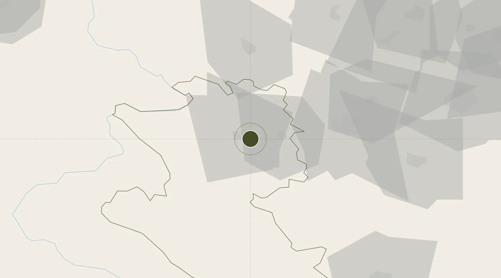
43.8408°, 19.8964°
55 ha
Zone area
176.3 km
Nearest port
17.2 km
Nearest airport

Gateway access

Nearest neighbours — logibook spatial index (haversine) over the source coordinates

Zone profile

Zone type
Free Trade Zone
Open Zone Map
Region
Zlatiborski
Open Zone Map
Status
Active
Open Zone Map
Management
Public-Private Partnership
Open Zone Map
Operator
Društvo za Upravljanje Slobodnom Zonom Uō¾ice D.O.O. Sevojno
Open Zone Map
Legal framework
Free Zone Law 62/2006
Open Zone Map

Location

Location of ozm-4115
Natural Earth 10m (public domain) · Zlatiborski · ozm-4115 · 43.84, 19.90GoogleOSMYandex

Nearby Logistics Neighbours

Ports
  1. 1Risan176 km
  2. 2Kotor183 km
  3. 3Tivat184 km
  4. 4Dubrovnik197 km
  5. 5Bar206 km
Nearest neighbours — logibook spatial index (haversine) over the source coordinates
Airports
  1. 1Ponikve Airport17 km
  2. 2Morava Airport55 km
  3. 3Belgrade Nikola Tesla Airport114 km
  4. 4Tuzla International Airport116 km
  5. 5Batajnica Air Base125 km
Nearest neighbours — logibook spatial index (haversine) over the source coordinates
Cities
  1. 1Sevojno1 km
  2. 2Uzice5 km
  3. 3Pozega11 km
  4. 4Cacak35 km
  5. 5Valjevo47 km
Nearest neighbours — logibook spatial index (haversine) over the source coordinates
Trade Zones
  1. 1Priboj Free Zone41 km
  2. 2ō abac Free Zone80 km
  3. 3FAS Free Zone Kragujevac82 km
  4. 4Svilajnac Free Zone114 km
  5. 5Beograd Free Zone119 km
Nearest neighbours — logibook spatial index (haversine) over the source coordinates
DatabookThe Record of Consolidated Knowledge
Serbia beyond logistics?
Browse databook

All Sources

Trade ZonesOpen Zone Map
CC BY
Portsthe NGA World Port Index
Public domain (US gov)
AirportsOurAirports
Public domain
LocationsUN/LOCODE
UN/LOCODE — free
← Serbia trade zones