Transport Functions
Rail
Road
Hub Profile
Place type
District seat
Region
Central Serbia
Population
3
Time zone
Europe/Belgrade
Elevation
452 m
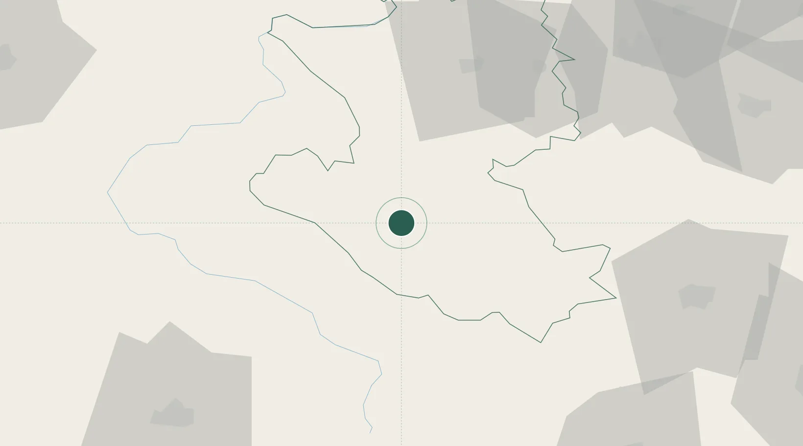
Location
Nearby Logistics Neighbours
Cities
- 1Sevojno54 km
- 2Uzice54 km
- 3Pozega60 km
- 4Berane (Yvangrad)62 km
- 5Mravnjac63 km
Airports
- 1Ponikve Airport58 km
- 2Morava Airport91 km
- 3Sarajevo International Airport116 km
- 4Podgorica Airport / Podgorica Golubovci Airbase118 km
- 5Tivat Airport132 km
Trade Zones
DatabookThe Record of Consolidated Knowledge
Serbia beyond logistics?