Transport Functions
Rail
Road
Hub Profile
Place type
Populated place
Region
Central Serbia
Time zone
Europe/Belgrade
Elevation
531 m
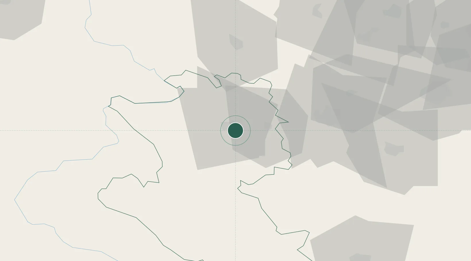
Location
Nearby Logistics Neighbours
Cities
- 1Uzice4 km
- 2Pozega12 km
- 3Cacak37 km
- 4Valjevo48 km
- 5Gornji Milanovac51 km
Airports
- 1Ponikve Airport17 km
- 2Morava Airport56 km
- 3Belgrade Nikola Tesla Airport115 km
- 4Tuzla International Airport116 km
- 5Sarajevo International Airport125 km
Trade Zones
- 1Uō¾ice Free Zone1 km
- 2Priboj Free Zone39 km
- 3ō abac Free Zone80 km
- 4FAS Free Zone Kragujevac84 km
- 5Svilajnac Free Zone115 km
DatabookThe Record of Consolidated Knowledge
Serbia beyond logistics?