Export Processing Zone · Romania

VGP Park Timisoara Active
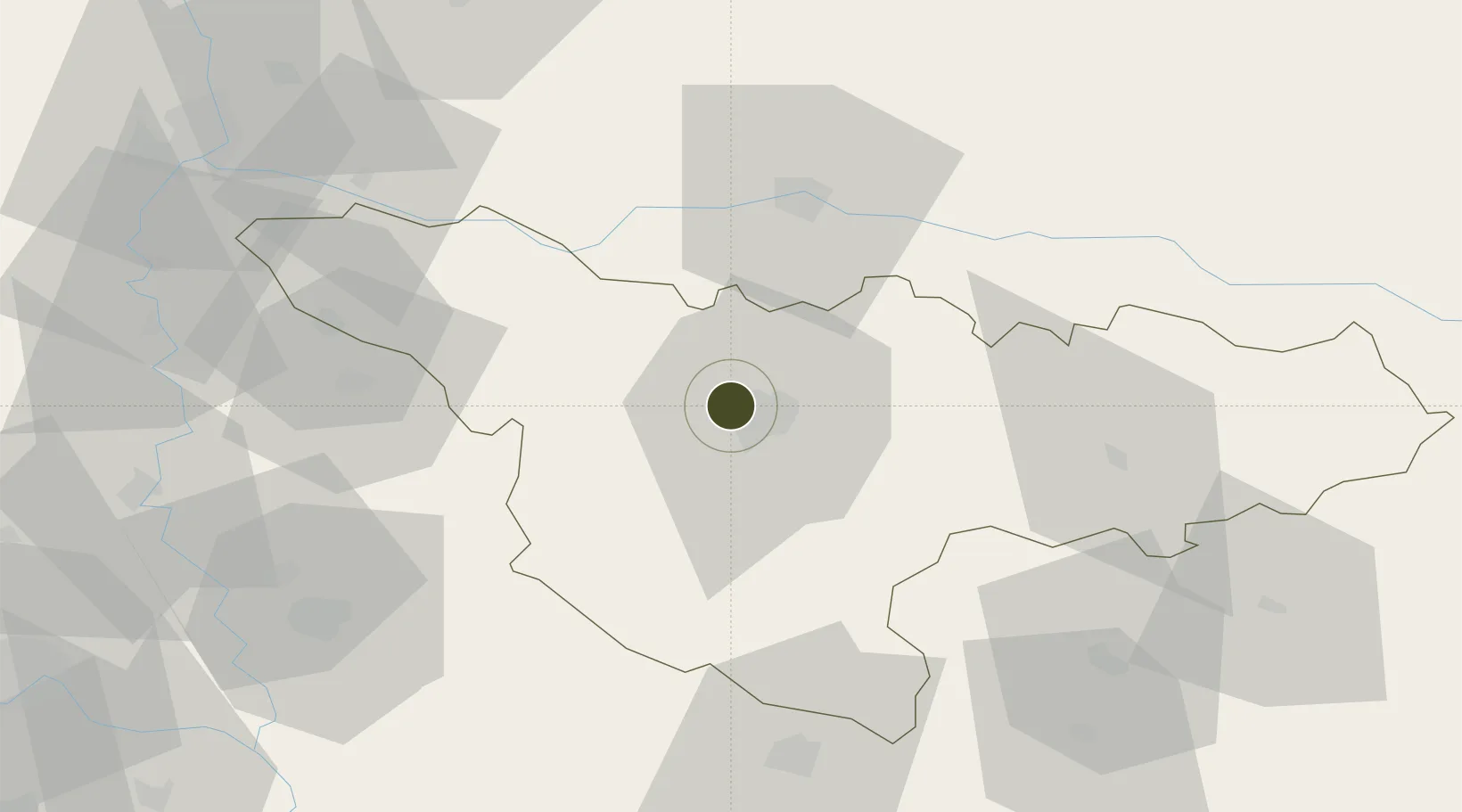
45.7913°, 21.1784°
1,492 ha
Zone area
414.3 km
Nearest port
12.5 km
Nearest airport

Gateway access

Nearest neighbours — logibook spatial index (haversine) over the source coordinates

Zone profile

Zone type
Export Processing Zone
Open Zone Map
Region
Timis
Open Zone Map
Status
Active
Open Zone Map
Management
Private
Open Zone Map
Operator
VGP Group
Open Zone Map
Legal framework
Government Urgency Ordinance no.31/1997 (Regime of Foreign Investments in Romania), Law no. 332/2001 (Promotion of FDI with Significant Impact on the Economy), Law no.84/1992 (Regime of Free Zones in Romania)
Open Zone Map

Location

Location of ozm-3988
Natural Earth 10m (public domain) · Timis · ozm-3988 · 45.79, 21.18GoogleOSMYandex

Nearby Logistics Neighbours

Ports
  1. 1Risan414 km
  2. 2Kotor422 km
  3. 3Tivat423 km
  4. 4Ploce426 km
  5. 5Dubrovnik426 km
Nearest neighbours — logibook spatial index (haversine) over the source coordinates
Airports
  1. 1Timișoara Traian Vuia International Airport13 km
  2. 2Arad International Airport43 km
  3. 3Caransebeş Airport93 km
  4. 4Batajnica Air Base119 km
  5. 5Belgrade Nikola Tesla Airport128 km
Nearest neighbours — logibook spatial index (haversine) over the source coordinates
Cities
  1. 1Sacalaz8 km
  2. 2Becicherecu Mic11 km
  3. 3Remetea Mare15 km
  4. 4Parta18 km
  5. 5Izvin21 km
Nearest neighbours — logibook spatial index (haversine) over the source coordinates
Trade Zones
  1. 1VGP Park Arad43 km
  2. 2Free Zone Curtici Arad63 km
  3. 3Zrenjanin Free Zone78 km
  4. 4Novi Sad Free Zone119 km
  5. 5Beograd Free Zone120 km
Nearest neighbours — logibook spatial index (haversine) over the source coordinates
DatabookThe Record of Consolidated Knowledge
Romania beyond logistics?
Browse databook

All Sources

Trade ZonesOpen Zone Map
CC BY
Portsthe NGA World Port Index
Public domain (US gov)
AirportsOurAirports
Public domain
LocationsUN/LOCODE
UN/LOCODE — free
← Romania trade zones