Medium airport · Hungary
Szolnok Air BaseLHSN
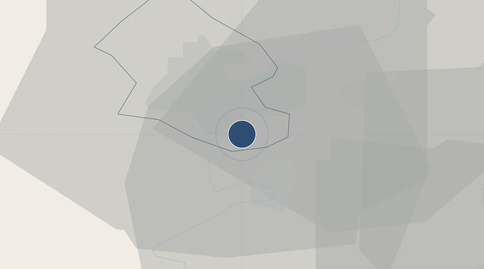
47.1229°, 20.2355°
6,562 ft
Longest runway
1
Runways
322 ft
Elevation
Runway & Layout

Radio Frequencies
TWR
129 MHz
OPERA TWR
Navaids
A NDB Opera 422 kHz
AO NDB Opera 282 kHz
O NDB Opera 422 kHz
OA NDB Opera 282 kHz
Runways · 1
| Runway | Dimensions | Surface | True heading | Lit |
|---|---|---|---|---|
| 02/20 | 6,562 × 229ft | Asphalt | 021° | ✓ |
Airport Specifications
ICAO code
LHSN
Airport class
Medium airport
Scheduled service
No
Runway surface
Asphalt
Served city
Szolnok
Location
Nearby Logistics Neighbours
Airports
- 1Kecskemét Air Base43 km
- 2Budapest Liszt Ferenc International Airport81 km
- 3Tököl Airport98 km
- 4Debrecen International Airport112 km
- 5Kalocsa-Foktő Airfield117 km
Cities
- 1Törökszentmiklós15 km
- 2Abony19 km
- 3Tiszakécske23 km
- 4Kocsér29 km
- 5Bekesszentandras34 km
Ports
- 1Senj475 km
- 2Bakar483 km
- 3Omisalj486 km
- 4Rijeka Luka489 km
- 5Dugi Rat495 km
Trade Zones
- 1Göd Special Economic Zone101 km
- 2Free Zone Curtici Arad117 km
- 3Subotica Free Zone125 km
- 4VGP Park Arad130 km
- 5VGP Park Timisoara165 km
DatabookThe Record of Consolidated Knowledge
Hungary beyond logistics?