Free Trade Zone · Saudi Arabia

Al-Kharj Industrial City Active
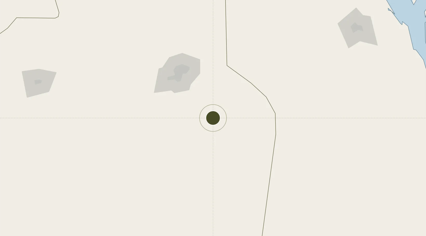
23.9237°, 47.2674°
9,900 ha
Zone area
411.2 km
Nearest port
35.4 km
Nearest airport

Gateway access

Nearest neighbours — logibook spatial index (haversine) over the source coordinates

Zone profile

Zone type
Free Trade Zone
Open Zone Map
Region
Ar Riyad
Open Zone Map
Status
Active
Open Zone Map
Management
Public
Open Zone Map
Operator
Saudi Authority for Industrial Estates and Technology Zones
Open Zone Map
Legal framework
Ministerial Legislation No. 235 dated 27/8/1422H
Open Zone Map

Location

Location of ozm-4093
Natural Earth 10m (public domain) · Ar Riyad · ozm-4093 · 23.92, 47.27GoogleOSMYandex

Nearby Logistics Neighbours

Ports
  1. 1Dammam411 km
  2. 2Ras Tannurah419 km
  3. 3Al Manamah421 km
  4. 4Mina Salman423 km
  5. 5Sitrah424 km
Nearest neighbours — logibook spatial index (haversine) over the source coordinates
Airports
  1. 1Prince Sultan Air Base35 km
  2. 2King Salman Air Base86 km
  3. 3King Khalid International Airport129 km
  4. 4Al-Ahsa International Airport271 km
  5. 5Dawadmi Domestic Airport324 km
Nearest neighbours — logibook spatial index (haversine) over the source coordinates
Cities
  1. 1Riyadh Dry Port94 km
  2. 2Harad183 km
  3. 3As Salwa364 km
  4. 4Al Khobar395 km
  5. 5Ad Dammam405 km
Nearest neighbours — logibook spatial index (haversine) over the source coordinates
Trade Zones
  1. 1Al-Zamil Private Industrial City69 km
  2. 2Kaden Logistics Investment Company70 km
  3. 3Al-Ojaimi Private Industrial City72 km
  4. 4Riyadh Cables Company Complex74 km
  5. 5Al-Fanar Private Industrial City75 km
Nearest neighbours — logibook spatial index (haversine) over the source coordinates
DatabookThe Record of Consolidated Knowledge
Saudi Arabia beyond logistics?
Browse databook

All Sources

Trade ZonesOpen Zone Map
CC BY
Portsthe NGA World Port Index
Public domain (US gov)
AirportsOurAirports
Public domain
LocationsUN/LOCODE
UN/LOCODE — free
← Saudi Arabia trade zones