Medium airport · Saudi Arabia
Prince Sultan Air BaseOEPS
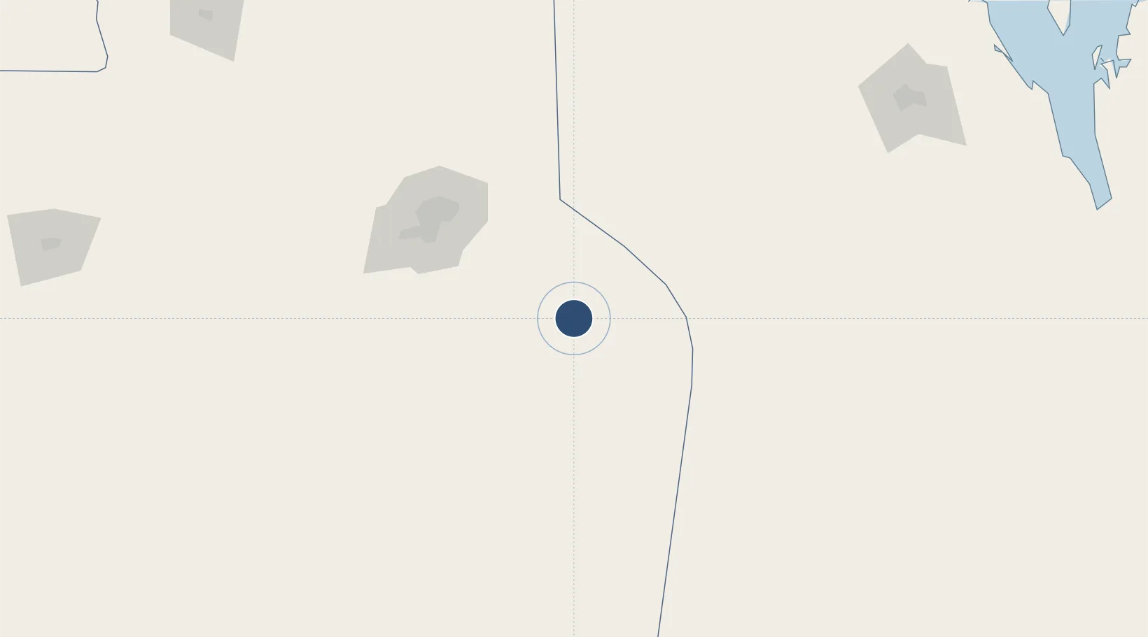
24.0627°, 47.5805°
13,123 ft
Longest runway
2
Runways
1,651 ft
Elevation
Runway & Layout

Radio Frequencies
ATIS
136.975 MHz
TWR
126.8 MHz
SULTAN TWR
GND
119.9 MHz
APP
123.425 MHz
SULTAN APP
POST
127.9 MHz
AMC COMD POST
Navaids
PSA VORTAC Prince Sultan 115.40 MHz
STN TACAN Prince Sultan 134.10 MHz
Runways · 2
| Runway | Dimensions | Surface | True heading | Lit |
|---|---|---|---|---|
| 17L/35R | 13,123 × 148ft | Asphalt | 175° | ✓ |
| 17R/35L | 13,123 × 148ft | ASPH | — | — |
Airport Specifications
IATA code
AKH
ICAO code
OEPS
Airport class
Medium airport
Scheduled service
No
Runway surface
Asphalt
Served city
Al Kharj
Location
Nearby Logistics Neighbours
Airports
- 1King Salman Air Base104 km
- 2King Khalid International Airport134 km
- 3Al-Ahsa International Airport236 km
- 4King Fahd International Airport348 km
- 5Dawadmi Domestic Airport353 km
Cities
- 1Riyadh Dry Port104 km
- 2Harad149 km
- 3As Salwa330 km
- 4Al Khobar361 km
- 5Madinat Hamad371 km
Ports
- 1Dammam378 km
- 2Ras Tannurah386 km
- 3Al Manamah387 km
- 4Mina Salman389 km
- 5Sitrah389 km
Trade Zones
DatabookThe Record of Consolidated Knowledge
Saudi Arabia beyond logistics?