Channel & Berth Profile
Pilotage, Tugs & Services
Pilotage compulsoryYES
Pilotage availableYES
Pilotage advisableYES
Tug assistanceYES
Salvage tugsYES
Potable waterYES
Diesel bunkersYES
MedicalYES
Garbage disposalYES
Facilities & Capabilities
Container—
Ro-Ro—
Liquid bulk—
Dry bulk—
Oil terminal—
Break bulk—
Dry dockNO
RepairsNO
BunkeringYES
Rail linkYES
Dangerous cargo—
ISPS security—
Harbour Specifications
Harbour size
Medium
Harbour type
Open Roadstead
Shelter
Fair
Water body
Persian Gulf; Indian Ocean
Tidal range
2 m
Overhead limit
Yes
Pilotage
Yes
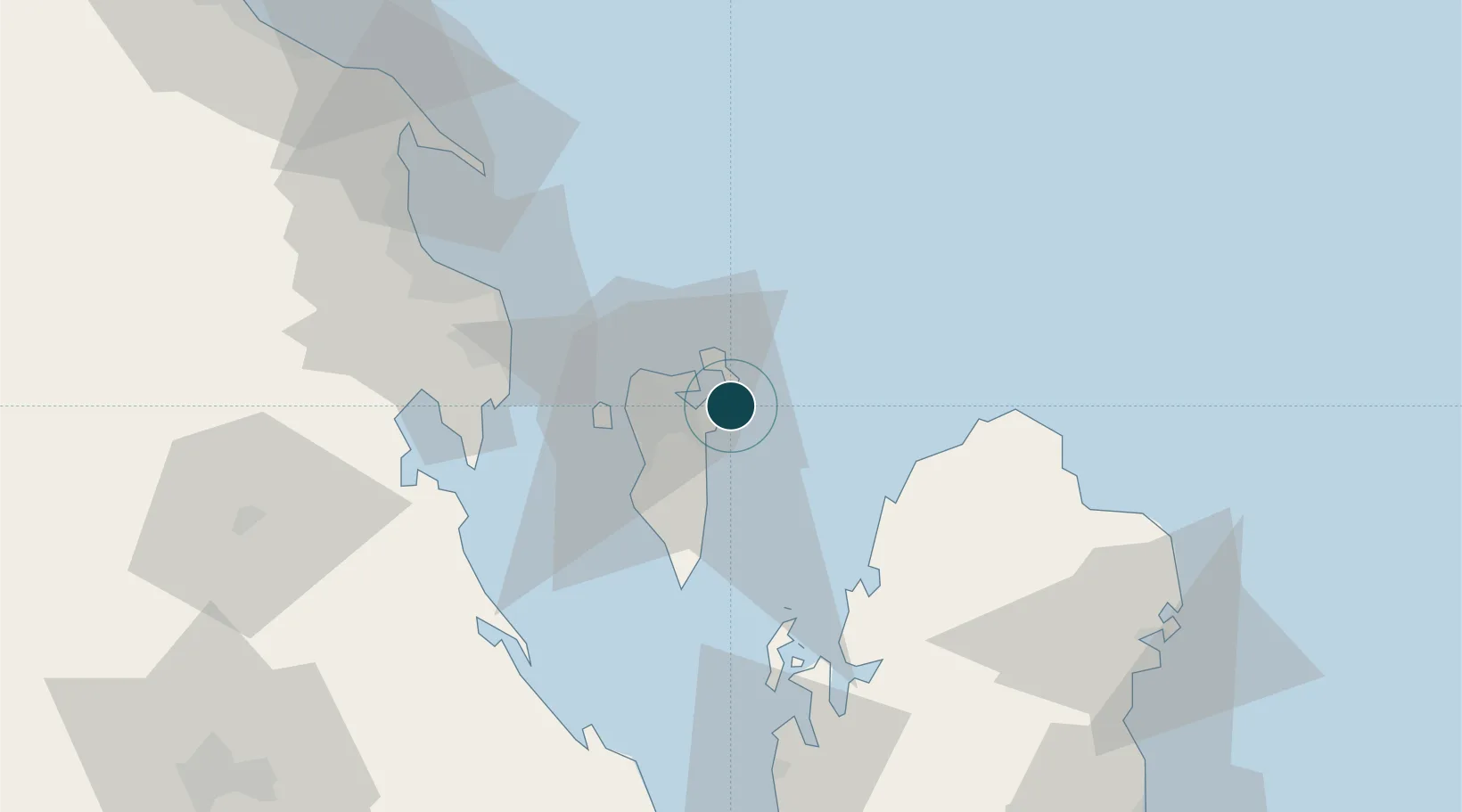
Location
Nearby Logistics Neighbours
Ports
- 1Mina Salman5 km
- 2Al Manamah11 km
- 3Khalifa Bin Salman12 km
- 4Dammam60 km
- 5Ras Tannurah72 km
Cities
- 1Khalifa Bin Salman Port6 km
- 2Mina Sulman Port6 km
- 3Al Ma'amir8 km
- 4Umm al Hassam9 km
- 5Adliya10 km
Airports
- 1Bahrain International Airport12 km
- 2Sheik Isa Air Base29 km
- 3King Abdulaziz Air Base53 km
- 4Ras Tanura Airport89 km
- 5King Fahd International Airport93 km
DatabookThe Record of Consolidated Knowledge
Bahrain beyond logistics?