Free Trade Zone · Saudi Arabia

Al-Fanar Private Industrial City Active
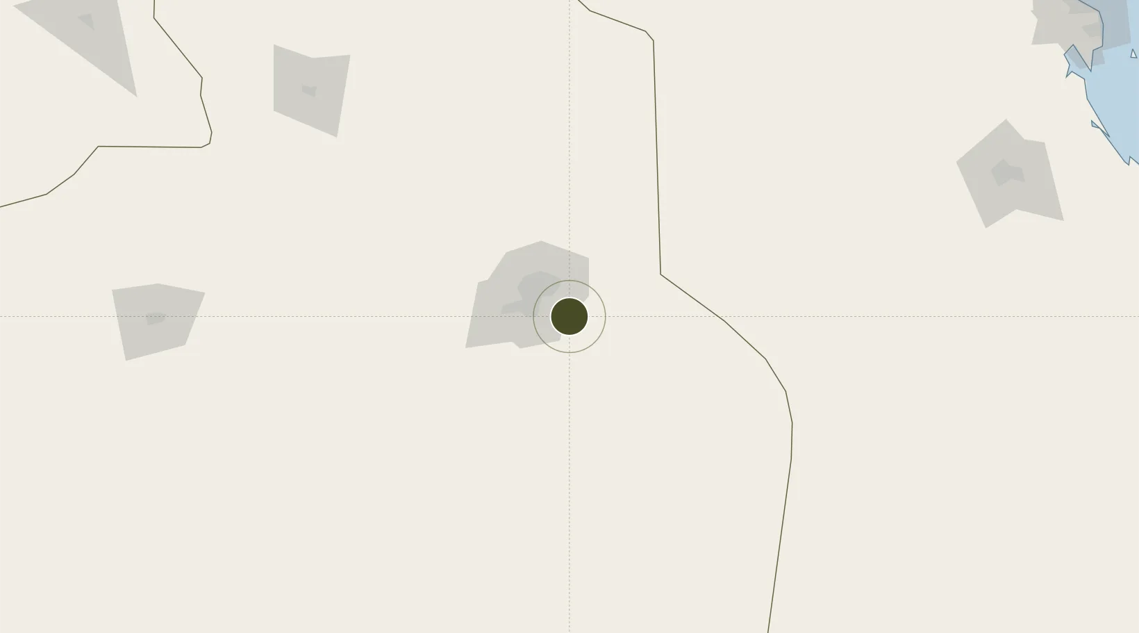
24.5304°, 46.9356°
68 ha
Zone area
394.0 km
Nearest port
28.9 km
Nearest airport

Gateway access

Nearest neighbours — logibook spatial index (haversine) over the source coordinates

Zone profile

Zone type
Free Trade Zone
Open Zone Map
Region
Ar Riyad
Open Zone Map
Status
Active
Open Zone Map
Management
Private
Open Zone Map
Operator
Al-Fanar Company
Open Zone Map
Legal framework
Ministerial Legislation No. 235 dated 27/8/1422H
Open Zone Map

Location

Location of ozm-4056
Natural Earth 10m (public domain) · Ar Riyad · ozm-4056 · 24.53, 46.94GoogleOSMYandex

Nearby Logistics Neighbours

Ports
  1. 1Dammam394 km
  2. 2Al Jubayl394 km
  3. 3Ras Tannurah400 km
  4. 4Ju Aymah Oil Terminal409 km
  5. 5Al Manamah413 km
Nearest neighbours — logibook spatial index (haversine) over the source coordinates
Airports
  1. 1King Salman Air Base29 km
  2. 2King Khalid International Airport53 km
  3. 3Prince Sultan Air Base84 km
  4. 4Al-Ahsa International Airport271 km
  5. 5Dawadmi Domestic Airport285 km
Nearest neighbours — logibook spatial index (haversine) over the source coordinates
Cities
  1. 1Riyadh Dry Port21 km
  2. 2Harad219 km
  3. 3Buraydah358 km
  4. 4Al Khobar381 km
  5. 5Jubail384 km
Nearest neighbours — logibook spatial index (haversine) over the source coordinates
Trade Zones
  1. 1Obaikan Private Industrial City2 km
  2. 2Riyadh Industrial City (Third)3 km
  3. 3Riyadh Cables Company Complex3 km
  4. 4Construction Products Holding Company Complex4 km
  5. 5Al-Ojaimi Private Industrial City4 km
Nearest neighbours — logibook spatial index (haversine) over the source coordinates
DatabookThe Record of Consolidated Knowledge
Saudi Arabia beyond logistics?
Browse databook

All Sources

Trade ZonesOpen Zone Map
CC BY
Portsthe NGA World Port Index
Public domain (US gov)
AirportsOurAirports
Public domain
LocationsUN/LOCODE
UN/LOCODE — free
← Saudi Arabia trade zones