Transport Functions
Rail
Road
Hub Profile
Logistics facilities
1
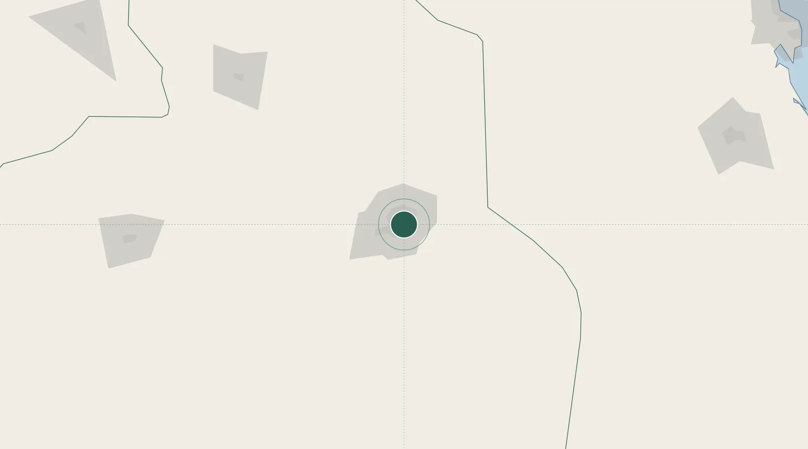
Location
Nearby Logistics Neighbours
Ports
- 1Al Jubayl397 km
- 2Dammam401 km
- 3Ras Tannurah406 km
- 4Ju Aymah Oil Terminal414 km
- 5Al Manamah422 km
Airports
- 1King Salman Air Base22 km
- 2King Khalid International Airport36 km
- 3Prince Sultan Air Base104 km
- 4Dawadmi Domestic Airport269 km
- 5Al-Ahsa International Airport283 km
DatabookThe Record of Consolidated Knowledge
Saudi Arabia beyond logistics?