Transport Functions
Rail
Road
Hub Profile
Place type
Populated place
Region
Eastern Province
Time zone
Asia/Riyadh
Elevation
298 m
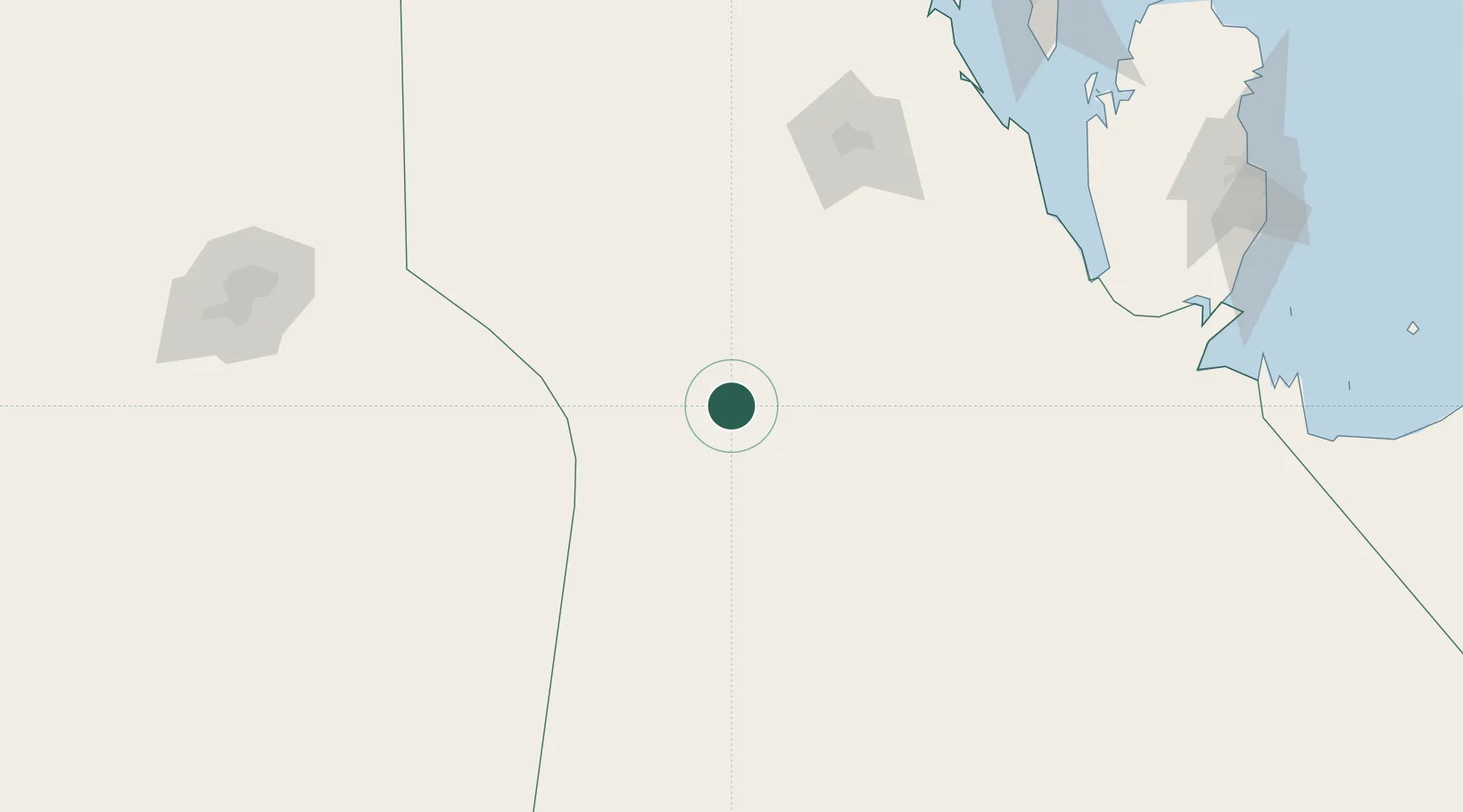
Location
Nearby Logistics Neighbours
Cities
- 1As Salwa185 km
- 2Riyadh Dry Port238 km
- 3Madinat Hamad263 km
- 4Hamad Town263 km
- 5Qchem264 km
Ports
- 1Umm Said269 km
- 2Sitrah279 km
- 3Mina Salman280 km
- 4Al Manamah280 km
- 5Doha282 km
Airports
- 1Al-Ahsa International Airport135 km
- 2Prince Sultan Air Base149 km
- 3Batha Airport244 km
- 4King Salman Air Base245 km
- 5Sheik Isa Air Base252 km
Trade Zones
DatabookThe Record of Consolidated Knowledge
Saudi Arabia beyond logistics?