UN/LOCODE hub · Saudi Arabia
SADMM
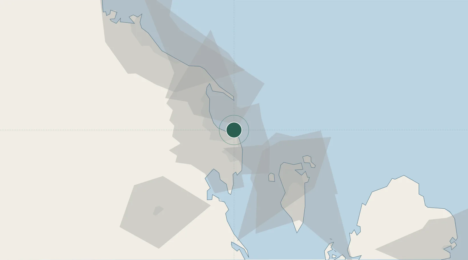
Ad Dammam
26.4500°, 50.1620°
5
Transport functions
2
Container terminals
Transport Functions
Port
Rail
Road
Airport
Postal
Hub Profile
Region
04
Logistics facilities
29
Container terminals
2
Location
Nearby Logistics Neighbours
Cities
- 1Al Khobar19 km
- 2Ras Tanura20 km
- 3Qalali38 km
- 4Al Hajar44 km
- 5Al Manamah47 km
Ports
- 1Ras Tannurah20 km
- 2Al Manamah48 km
- 3Mina Salman55 km
- 4Ju Aymah Oil Terminal55 km
- 5Sitrah59 km
Airports
- 1King Abdulaziz Air Base21 km
- 2Ras Tanura Airport33 km
- 3King Fahd International Airport36 km
- 4Bahrain International Airport52 km
- 5Sheik Isa Air Base73 km
Trade Zones
DatabookThe Record of Consolidated Knowledge
Saudi Arabia beyond logistics?