UN/LOCODE hub · Saudi Arabia
SAAQK

Al Khobar

26.2833°, 50.2000°
1
Transport functions

Transport Functions

Port
UN/LOCODE

Hub Profile

Region
04
GeoNames

Location

Location of SAAQK
Natural Earth 10m (public domain) · 04 · SAAQK · 26.28, 50.20GoogleOSMYandex

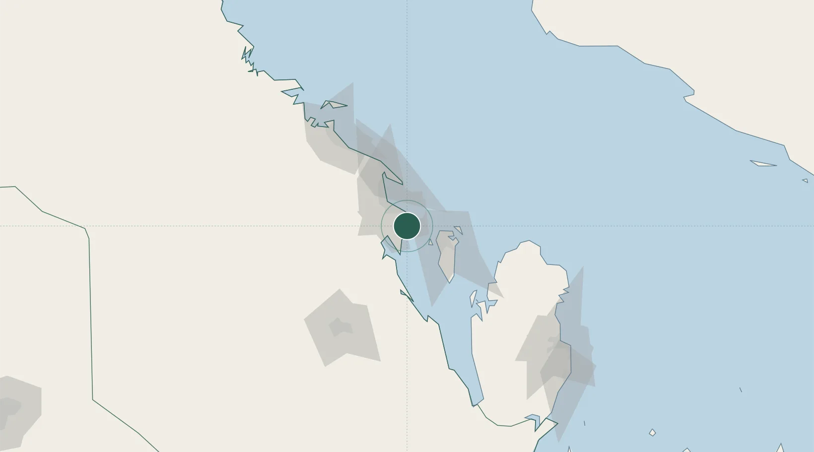
Nearby Logistics Neighbours

Cities
  1. 1Ad Dammam19 km
  2. 2Qalali28 km
  3. 3Al Hajar31 km
  4. 4Tubli35 km
  5. 5Madinat Hamad36 km
Nearest neighbours — logibook spatial index (haversine) over the source coordinates
Ports
  1. 1Dammam24 km
  2. 2Al Manamah39 km
  3. 3Ras Tannurah39 km
  4. 4Mina Salman44 km
  5. 5Sitrah48 km
Nearest neighbours — logibook spatial index (haversine) over the source coordinates
Airports
  1. 1King Abdulaziz Air Base5 km
  2. 2Bahrain International Airport44 km
  3. 3King Fahd International Airport45 km
  4. 4Ras Tanura Airport52 km
  5. 5Sheik Isa Air Base56 km
Nearest neighbours — logibook spatial index (haversine) over the source coordinates
Trade Zones
  1. 1Dammam Industrial City (First)14 km
  2. 2Dammam Industrial City (Second)23 km
  3. 3Bahrain International Airport43 km
  4. 4Dammam Industrial City (Third)46 km
  5. 5Bahrain Investment Wharf (BIW)47 km
Nearest neighbours — logibook spatial index (haversine) over the source coordinates
DatabookThe Record of Consolidated Knowledge
Saudi Arabia beyond logistics?
Browse databook

All Sources

LocationsUN/LOCODE
UN/LOCODE — free
Portsthe NGA World Port Index
Public domain (US gov)
AirportsOurAirports
Public domain
Trade Zonesthe World Bank SEZ database
CC BY 4.0
Trade ZonesOpen Zone Map
CC BY
← Saudi Arabia locations