Channel & Berth Profile
Pilotage, Tugs & Services
Pilotage compulsoryYES
Pilotage availableYES
Pilotage advisableYES
Potable waterYES
Diesel bunkersYES
MedicalYES
Facilities & Capabilities
Container—
Ro-Ro—
Liquid bulk—
Dry bulk—
Oil terminal—
Break bulk—
Dry dock—
Repairs—
BunkeringYES
Rail linkYES
Dangerous cargo—
ISPS security—
Harbour Specifications
Harbour size
Small
Harbour type
Coastal (Natural)
Shelter
Fair
Water body
Persian Gulf; Indian Ocean
Tidal range
2 m
Pilotage
Yes
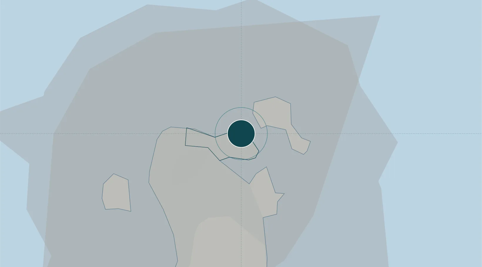
Location
Nearby Logistics Neighbours
Ports
- 1Mina Salman6 km
- 2Sitrah11 km
- 3Khalifa Bin Salman17 km
- 4Dammam48 km
- 5Ras Tannurah61 km
Cities
- 1Adliya2 km
- 2Al Muharraq3 km
- 3Umm al Hassam4 km
- 4Khalifa Bin Salman Port5 km
- 5Mina Sulman Port5 km
Airports
DatabookThe Record of Consolidated Knowledge
Bahrain beyond logistics?