Large airport · Saudi Arabia

Al-Ahsa International AirportOEAH
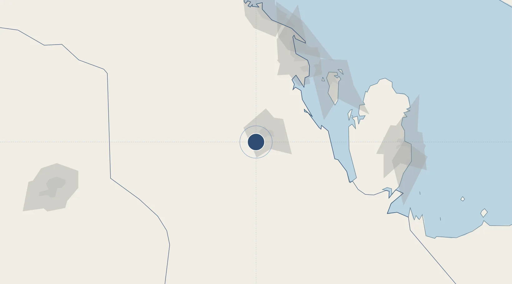
25.2853°, 49.4852°
10,039 ft
Longest runway
1
Runways
588 ft
Elevation

Runway & Layout

Al-Ahsa International Airport runway & taxiway layout
Runway & taxiway layout — OpenStreetMap (ODbL) / OurAirports

Radio Frequencies

CTAF
122.8 MHz
MISC
133.5 MHz
CRASH SVC
RDO
131.5 MHz
OurAirports

Navaids

HSA VORTAC Al Ahsa 116.60 MHz
OurAirports

Runways · 1

RunwayDimensions SurfaceTrue headingLit
16/34 10,039 × 148ft Asphalt 165°
OurAirports

Airport Specifications

IATA code
HOF
OurAirports
ICAO code
OEAH
OurAirports
Airport class
Large airport
OurAirports
Scheduled service
Yes
OurAirports
Runway surface
Asphalt
OurAirports
Served city
Hofuf
OurAirports

Location

Location of OEAH
Natural Earth 10m (public domain) · Ash Sharqiyah · OEAH · 25.29, 49.49GoogleOSMYandex

Nearby Logistics Neighbours

Airports
  1. 1King Abdulaziz Air Base128 km
  2. 2Sheik Isa Air Base131 km
  3. 3King Fahd International Airport135 km
  4. 4Bahrain International Airport159 km
  5. 5Ras Tanura Airport169 km
Nearest neighbours — logibook spatial index (haversine) over the source coordinates
Cities
  1. 1Al Khobar132 km
  2. 2Harad135 km
  3. 3Madinat Hamad136 km
  4. 4Hamad Town136 km
  5. 5As Salwa142 km
Nearest neighbours — logibook spatial index (haversine) over the source coordinates
Ports
  1. 1Al Manamah152 km
  2. 2Dammam153 km
  3. 3Mina Salman154 km
  4. 4Sitrah154 km
  5. 5Ras Tannurah165 km
Nearest neighbours — logibook spatial index (haversine) over the source coordinates
Trade Zones
  1. 1Al-Ahsa Al-Aḥsāʾ Industrial City Hasa (First)14 km
  2. 2King Salman Energy City SPARK81 km
  3. 3Dammam Industrial City (Third)86 km
  4. 4Dammam Industrial City (Second)119 km
  5. 5Dammam Industrial City (First)140 km
Nearest neighbours — logibook spatial index (haversine) over the source coordinates
DatabookThe Record of Consolidated Knowledge
Saudi Arabia beyond logistics?
Browse databook

All Sources

AirportsOurAirports
Public domain
Portsthe NGA World Port Index
Public domain (US gov)
LocationsUN/LOCODE
UN/LOCODE — free
Trade Zonesthe World Bank SEZ database
CC BY 4.0
Trade ZonesOpen Zone Map
CC BY
InfrastructureOpenStreetMap
ODbL 1.0
← Saudi Arabia airports