Large airport · Saudi Arabia

King Khalid International AirportOERK
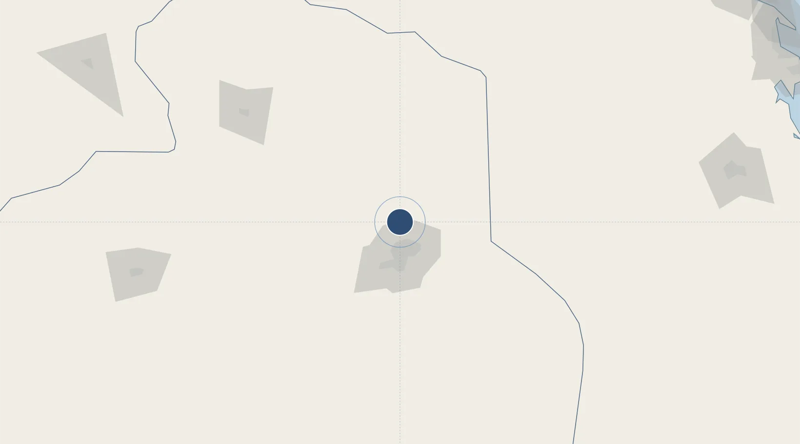
24.9576°, 46.6988°
13,796 ft
Longest runway
2
Runways
2,049 ft
Elevation

Runway & Layout

King Khalid International Airport runway & taxiway layout
Runway & taxiway layout — OpenStreetMap (ODbL) / OurAirports

Radio Frequencies

ATIS
127.15 MHz
TWR
118.6 MHz
GND
121.6 MHz
APP
120 MHz
RIYADH APP
Ctrl
126 MHz
OurAirports

Navaids

KIA VORTAC King Khaled 113.30 MHz
OurAirports

Runways · 2

RunwayDimensions SurfaceTrue headingLit
15L/33R 13,796 × 197ft Asphalt 150°
15R/33L 13,796 × 197ft Asphalt 150°
OurAirports

Airport Specifications

IATA code
RUH
OurAirports
ICAO code
OERK
OurAirports
Airport class
Large airport
OurAirports
Scheduled service
Yes
OurAirports
Runway surface
Asphalt
OurAirports
Served city
Riyadh
OurAirports

Location

Location of OERK
Natural Earth 10m (public domain) · Ar Riyad · OERK · 24.96, 46.70GoogleOSMYandex

Nearby Logistics Neighbours

Airports
  1. 1King Salman Air Base55 km
  2. 2Prince Sultan Air Base134 km
  3. 3Dawadmi Domestic Airport266 km
  4. 4Al-Ahsa International Airport283 km
  5. 5Prince Naif bin Abdulaziz International Airport329 km
Nearest neighbours — logibook spatial index (haversine) over the source coordinates
Cities
  1. 1Riyadh Dry Port36 km
  2. 2Harad255 km
  3. 3Buraydah313 km
  4. 4Jubail369 km
  5. 5Al Khobar381 km
Nearest neighbours — logibook spatial index (haversine) over the source coordinates
Ports
  1. 1Al Jubayl379 km
  2. 2Dammam390 km
  3. 3Ras Tannurah394 km
  4. 4Ju Aymah Oil Terminal399 km
  5. 5Ras Al Mishab401 km
Nearest neighbours — logibook spatial index (haversine) over the source coordinates
DatabookThe Record of Consolidated Knowledge
Saudi Arabia beyond logistics?
Browse databook

All Sources

AirportsOurAirports
Public domain
Portsthe NGA World Port Index
Public domain (US gov)
LocationsUN/LOCODE
UN/LOCODE — free
Trade Zonesthe World Bank SEZ database
CC BY 4.0
Trade ZonesOpen Zone Map
CC BY
InfrastructureOpenStreetMap
ODbL 1.0
← Saudi Arabia airports