Channel & Berth Profile
Pilotage, Tugs & Services
Pilotage compulsoryYES
Pilotage availableYES
Pilotage advisableYES
Local assistanceYES
Tug assistanceYES
Salvage tugsNO
Potable waterNO
Diesel bunkersNO
MedicalYES
Garbage disposalNO
Facilities & Capabilities
Container—
Ro-Ro—
Liquid bulk—
Dry bulk—
Oil terminal—
Break bulk—
Dry dock—
RepairsNO
BunkeringYES
Rail link—
Dangerous cargo—
ISPS security—
Harbour Specifications
Harbour size
Medium
Harbour type
Open Roadstead
Shelter
Fair
Water body
Persian Gulf; Indian Ocean
Tidal range
2 m
Pilotage
Yes
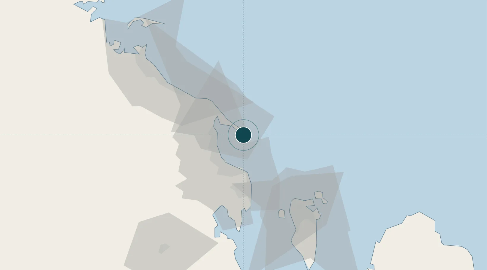
Location
Nearby Logistics Neighbours
Ports
- 1Dammam15 km
- 2Ju Aymah Oil Terminal36 km
- 3Al Manamah61 km
- 4Mina Salman67 km
- 5Al Jubayl71 km
Cities
- 1Ad Dammam20 km
- 2Juaymah Terminal35 km
- 3Al Khobar39 km
- 4Qalali52 km
- 5Al Hajar59 km
Airports
- 1Ras Tanura Airport17 km
- 2King Abdulaziz Air Base41 km
- 3King Fahd International Airport41 km
- 4Bahrain International Airport62 km
- 5Jubail Airport88 km
Trade Zones
DatabookThe Record of Consolidated Knowledge
Saudi Arabia beyond logistics?