Medium airport · Saudi Arabia

Dawadmi Domestic AirportOEDM
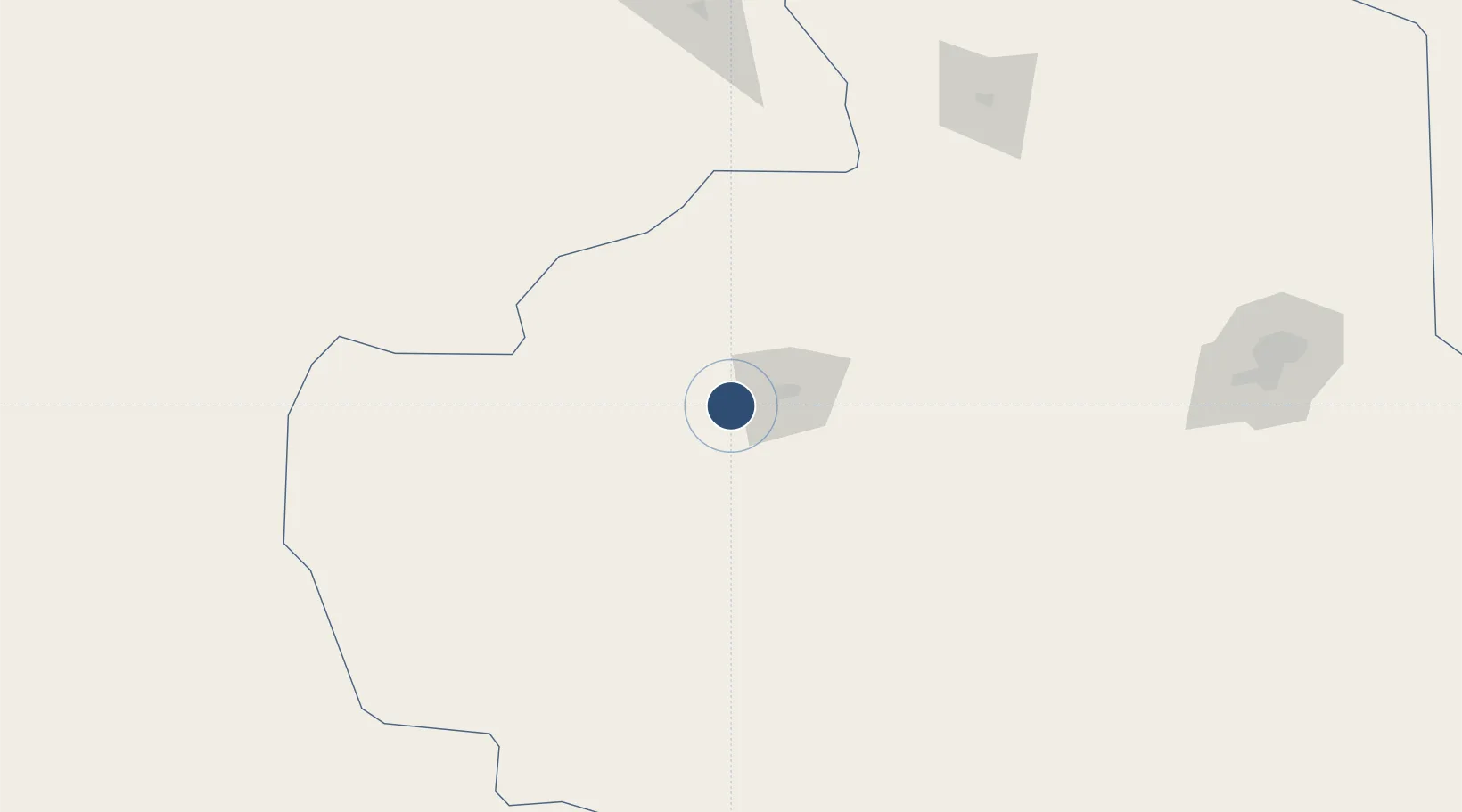
24.4499°, 44.1212°
10,006 ft
Longest runway
1
Runways
3,026 ft
Elevation

Runway & Layout

Dawadmi Domestic Airport runway & taxiway layout
Runway & taxiway layout — OpenStreetMap (ODbL) / OurAirports

Radio Frequencies

CTAF
122.8 MHz
EMR
133.5 MHz
FIRE RESCUE SVC
OurAirports

Navaids

DAW VOR-DME Al Dawadmi 116.10 MHz
OurAirports

Runways · 1

RunwayDimensions SurfaceTrue headingLit
15/33 10,006 × 147ft Asphalt 154°
OurAirports

Airport Specifications

IATA code
DWD
OurAirports
ICAO code
OEDM
OurAirports
Airport class
Medium airport
OurAirports
Scheduled service
Yes
OurAirports
Runway surface
Asphalt
OurAirports
Served city
Dawadmi
OurAirports

Location

Location of OEDM
Natural Earth 10m (public domain) · Ar Riyad · OEDM · 24.45, 44.12GoogleOSMYandex

Nearby Logistics Neighbours

Airports
  1. 1Prince Naif bin Abdulaziz International Airport209 km
  2. 2King Salman Air Base257 km
  3. 3King Khalid International Airport266 km
  4. 4Prince Sultan Air Base353 km
  5. 5King Khaled Military City Airport409 km
Nearest neighbours — logibook spatial index (haversine) over the source coordinates
Cities
  1. 1Buraydah208 km
  2. 2Riyadh Dry Port269 km
  3. 3Harad501 km
  4. 4Ras Al-Khair614 km
  5. 5Jubail618 km
Nearest neighbours — logibook spatial index (haversine) over the source coordinates
Ports
  1. 1Rabigh557 km
  2. 2Jiddah604 km
  3. 3Ras Al Mishab607 km
  4. 4Yanbu617 km
  5. 5Ras Al Khafji627 km
Nearest neighbours — logibook spatial index (haversine) over the source coordinates
Trade Zones
  1. 1Shaqraa Industrial City147 km
  2. 2Qassim Industrial City (Second)196 km
  3. 3Qassim Industrial City (First)198 km
  4. 4Duhrma Industrial City198 km
  5. 5Qassim Modon Oasis200 km
Nearest neighbours — logibook spatial index (haversine) over the source coordinates
DatabookThe Record of Consolidated Knowledge
Saudi Arabia beyond logistics?
Browse databook

All Sources

AirportsOurAirports
Public domain
Portsthe NGA World Port Index
Public domain (US gov)
LocationsUN/LOCODE
UN/LOCODE — free
Trade Zonesthe World Bank SEZ database
CC BY 4.0
Trade ZonesOpen Zone Map
CC BY
InfrastructureOpenStreetMap
ODbL 1.0
← Saudi Arabia airports