Seaport · Bahrain
Mina SalmanBHMIN
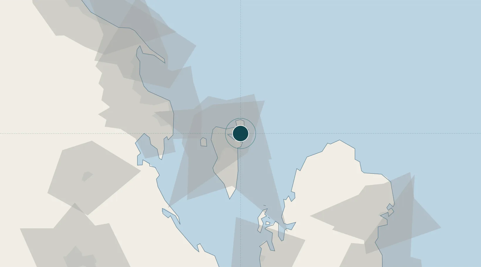
26.2000°, 50.6333°
14.0 m
Channel depth
178.1
Port liner connectivity
Channel & Berth Profile
Pilotage, Tugs & Services
Pilotage compulsoryYES
Pilotage availableYES
Pilotage advisableYES
Tug assistanceYES
Potable waterYES
Diesel bunkersYES
MedicalYES
Facilities & Capabilities
Container—
Ro-Ro—
Liquid bulk—
Dry bulk—
Oil terminal—
Break bulk—
Dry dockNO
RepairsNO
BunkeringYES
Rail linkYES
Dangerous cargo—
ISPS security—
Harbour Specifications
Harbour size
Medium
Harbour type
Coastal (Natural)
Shelter
Fair
Water body
Persian Gulf; Indian Ocean
Tidal range
2 m
Overhead limit
No
Pilotage
Yes
Liner Connectivity
178.1
PLSCI
Port Liner Shipping Connectivity Index for Mina Salman, as published by UNCTAD for the latest available quarter. Higher values indicate stronger scheduled liner-shipping integration.
Shown relative to the highest per-port PLSCI in the dataset (1,657.9).
Location
Nearby Logistics Neighbours
Ports
- 1Sitrah5 km
- 2Al Manamah6 km
- 3Khalifa Bin Salman13 km
- 4Dammam55 km
- 5Ras Tannurah67 km
Cities
- 1Khalifa Bin Salman Port2 km
- 2Sitrah4 km
- 3Umm al Hassam5 km
- 4Adliya5 km
- 5Al Muharraq7 km
Airports
DatabookThe Record of Consolidated Knowledge
Bahrain beyond logistics?