Runway & Layout

Radio Frequencies
ATIS
133.5 MHz
ARR
ATIS
133.6 MHz
DEP
TWR
118.1 MHz
SALMAN Tower
TWR
341.6 MHz
SALMAN Tower
SMC
121.9 MHz
SALMAN GROUND
SMC
262.5 MHz
SALMAN GROUND
Airport Specifications
ICAO code
OESN
Airport class
Medium airport
Scheduled service
No
Served city
Riyadh
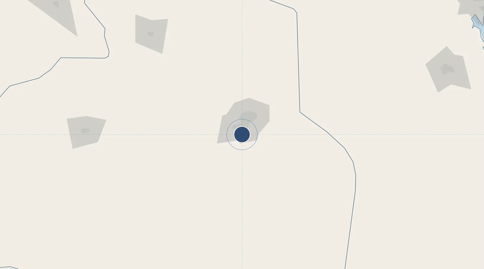
Location
Nearby Logistics Neighbours
Airports
Cities
- 1Riyadh Dry Port22 km
- 2Harad245 km
- 3Buraydah340 km
- 4Jubail409 km
- 5Al Khobar409 km
Ports
- 1Al Jubayl419 km
- 2Dammam421 km
- 3Ras Tannurah427 km
- 4Ju Aymah Oil Terminal435 km
- 5Al Manamah441 km
DatabookThe Record of Consolidated Knowledge
Saudi Arabia beyond logistics?