Transport Functions
Port
Hub Profile
Region
RA
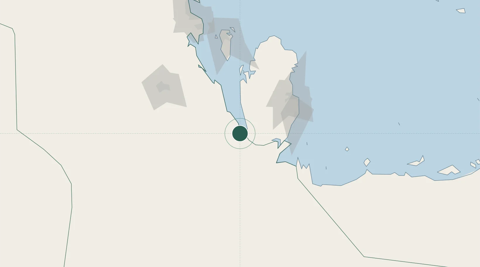
Location
Nearby Logistics Neighbours
Cities
- 1Qchem80 km
- 2Qapco85 km
- 3Umm Sa'id (Mesaieed)85 km
- 4BGN/PCGN1956 - HAMAD94 km
- 5Doha94 km
Ports
- 1Umm Said85 km
- 2Doha100 km
- 3Ras Laffan156 km
- 4Sitrah160 km
- 5Mina Salman164 km
Airports
- 1Al Udeid Air Base71 km
- 2Batha Airport91 km
- 3Doha International Airport101 km
- 4Hamad International Airport105 km
- 5Sheik Isa Air Base133 km
Trade Zones
DatabookThe Record of Consolidated Knowledge
Qatar beyond logistics?