Seaport · Saudi Arabia
DammamSADMM
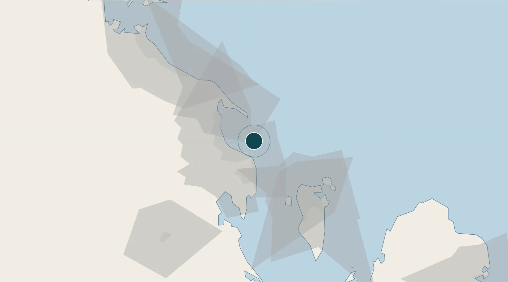
26.5000°, 50.2000°
14.0 m
Channel depth
2
Container terminals
324.0
Port liner connectivity
Channel & Berth Profile
Pilotage, Tugs & Services
Pilotage compulsoryYES
Pilotage availableYES
Pilotage advisableYES
Tug assistanceYES
Salvage tugsYES
Shore powerYES
Potable waterYES
Diesel bunkersYES
MedicalYES
Garbage disposalYES
Facilities & Capabilities
Container—
Ro-Ro—
Liquid bulk—
Dry bulk—
Oil terminal—
Break bulk—
Dry dockNO
RepairsNO
BunkeringYES
Rail linkYES
Dangerous cargo—
ISPS security—
Harbour Specifications
Harbour size
Small
Harbour type
Coastal (Breakwater)
Shelter
Fair
Water body
Persian Gulf; Indian Ocean
Tidal range
2 m
Pilotage
Yes
Liner Connectivity
324
PLSCI
Port Liner Shipping Connectivity Index for Dammam, as published by UNCTAD for the latest available quarter. Higher values indicate stronger scheduled liner-shipping integration.
Shown relative to the highest per-port PLSCI in the dataset (1,657.9).
Location
Container Terminals · 2
DAMMAM FIRST CONTAINER TERMINAL (FCT)
FCT SAUDI GLOBAL PORTS CO. (SGPC)
DAMMAM SECOND CONTAINER TERMINAL (SCT)
SCT SAUDI GLOBAL PORTS CO. (SGPC)
Nearby Logistics Neighbours
Ports
- 1Ras Tannurah15 km
- 2Al Manamah48 km
- 3Ju Aymah Oil Terminal51 km
- 4Mina Salman55 km
- 5Sitrah60 km
Cities
- 1Ras Tanura16 km
- 2Al Khobar24 km
- 3Qalali38 km
- 4Al Hajar45 km
- 5Al Manamah47 km
Airports
- 1King Abdulaziz Air Base27 km
- 2Ras Tanura Airport30 km
- 3King Fahd International Airport40 km
- 4Bahrain International Airport51 km
- 5Sheik Isa Air Base76 km
Trade Zones
DatabookThe Record of Consolidated Knowledge
Saudi Arabia beyond logistics?