Seaport · Russia

SlavyankaRUSKA

42.8667°, 131.3833°
52.1
Port liner connectivity

Channel & Berth Profile

SEA LEVEL (CD)CHANNEL BEDCargo pier · 4.9 mOil terminal · 4.9 mAnchorage · 14.0 m
NGA World Port Index

Pilotage, Tugs & Services

Pilotage compulsoryYES
Pilotage availableYES
Pilotage advisableYES
Tug assistanceYES
Potable waterYES
MedicalYES
NGA World Port Index

Facilities & Capabilities

Container
Ro-Ro
Liquid bulk
Dry bulk
Oil terminal
Break bulk
Dry dockNO
Repairs
BunkeringYES
Rail linkYES
Dangerous cargo
ISPS security
NGA World Port Index

Harbour Specifications

Harbour size
Small
NGA World Port Index
Harbour type
Coastal (Natural)
NGA World Port Index
Shelter
Good
NGA World Port Index
Water body
Sea of Japan; North Pacific Ocean
NGA World Port Index
Pilotage
Yes
NGA World Port Index

Liner Connectivity

52.1
PLSCI

Port Liner Shipping Connectivity Index for Slavyanka, as published by UNCTAD for the latest available quarter. Higher values indicate stronger scheduled liner-shipping integration.

Shown relative to the highest per-port PLSCI in the dataset (1,657.9).
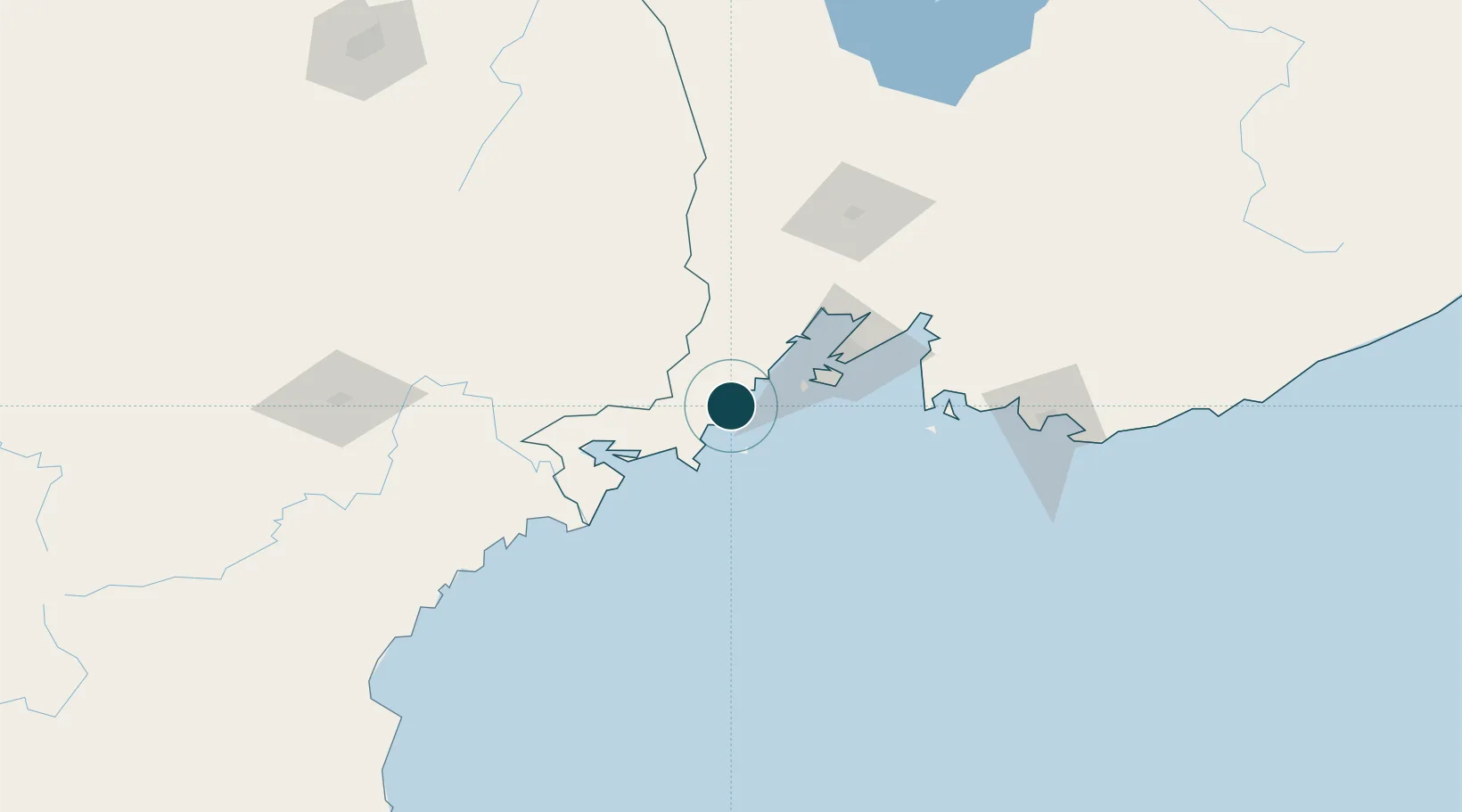
UNCTAD · Port Liner Shipping Connectivity Index

Location

Location of RUSKA
Natural Earth 10m (public domain) · Primor'ye · RUSKA · 42.87, 131.38GoogleOSMYandex

Nearby Logistics Neighbours

Ports
  1. 1Zarubino36 km
  2. 2Vladivostok49 km
  3. 3Pos'yet53 km
  4. 4Najin113 km
  5. 5Nakhodka123 km
Nearest neighbours — logibook spatial index (haversine) over the source coordinates
Cities
  1. 1Vityaz35 km
  2. 2Zarubino37 km
  3. 3Vostokmorservice46 km
  4. 4Vladivostok50 km
  5. 5Fish Port Terminal51 km
Nearest neighbours — logibook spatial index (haversine) over the source coordinates
Airports
  1. 1Vladivostok International Airport86 km
  2. 2Vozdvizhenka Air Base124 km
  3. 3Yanji Chaoyangchuan Airport158 km
  4. 4Chernigovka Air Base187 km
  5. 5Orang (Chongjin) Airport215 km
Nearest neighbours — logibook spatial index (haversine) over the source coordinates
Trade Zones
  1. 1Huichun Export Processing Zone81 km
  2. 2Kyongwon Economic Development Zone96 km
  3. 3Rason Special Economic Zone112 km
  4. 4Onsōng Island Tourist Development Zone114 km
  5. 5Tumen Economic and Technological Development Zone130 km
Nearest neighbours — logibook spatial index (haversine) over the source coordinates
DatabookThe Record of Consolidated Knowledge
Russia beyond logistics?
Browse databook

All Sources

Portsthe NGA World Port Index
Public domain (US gov)
Logistics performanceUNCTAD
CC BY 3.0 IGO
AirportsOurAirports
Public domain
LocationsUN/LOCODE
UN/LOCODE — free
Trade Zonesthe World Bank SEZ database
CC BY 4.0
Trade ZonesOpen Zone Map
CC BY
← Russia ports